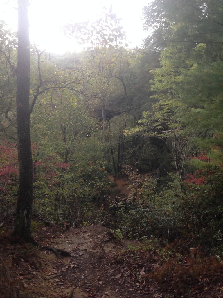
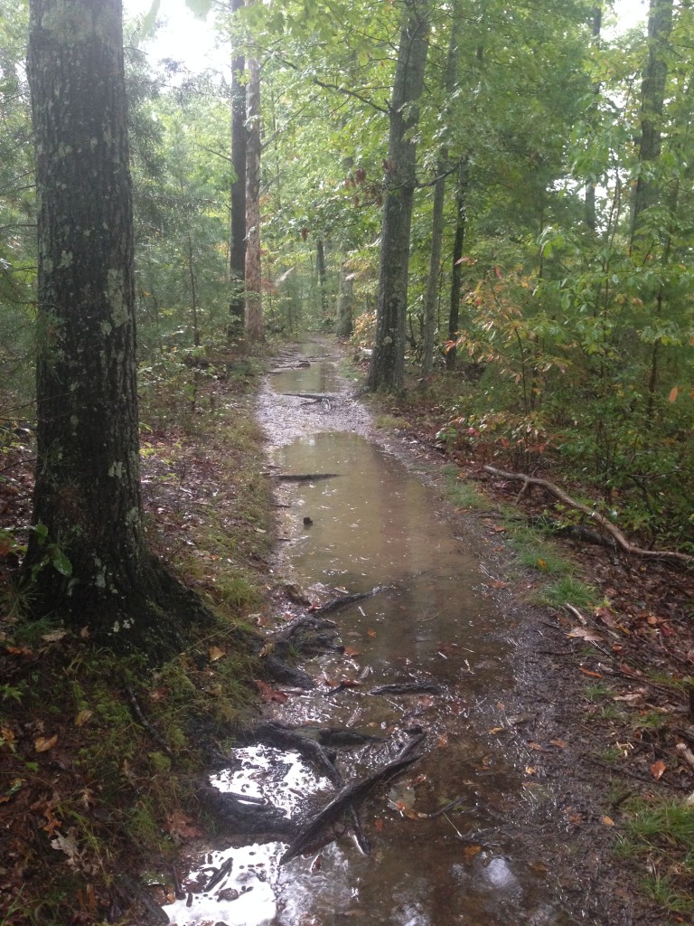
On a rare week off for my husband, we decided to go on a road trip to Kentucky for some hiking. The trip was off to a rough start. We wanted to go Wed-Thurs. But, on Sunday night we got word my uncle had passed away and we had no details about arrangements. Not wanting to miss his funeral, we bumped the trip up. It poured the whole drive. All 6 hours of it.
And, I had/have a pinched nerve in my back, so my leg is killing me. And, I’m all wobbly. We kept on anyway. I thought, how hard could this be? Thinking of Indiana’s vast corn fields, not of Kentucky’s mountain ranges.
We wanted to go to Red River Gorge, deep in Daniel Boone National Forest. The website for the forest proudly boasts that this park “embraces some of the most rugged terrain west of the Appalachian Mountains.” It would seem I should have done some more research before we left.
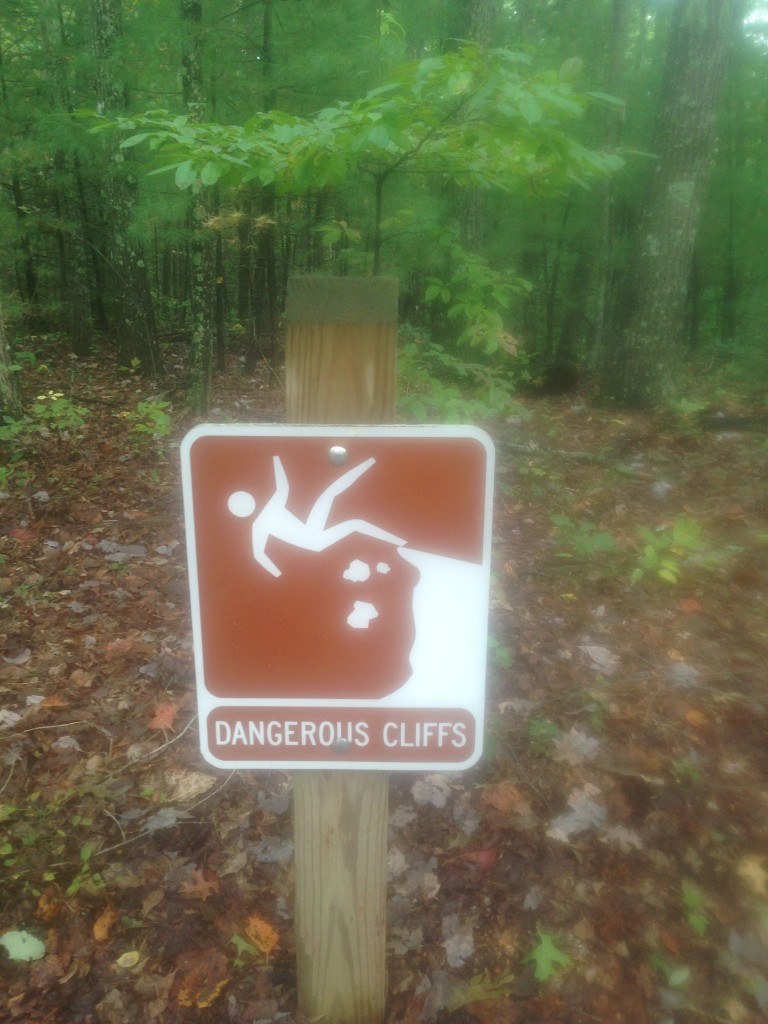
We got to the park, it had actually stopped raining at that point. Which was nice, especially since the “Dangerous Cliffs” sign above was the first sign that greeted us.
We started down the Gray’s Arch trail. The sign said it was just a .25 mile hike. Not a problem. So, we began. Above Gray’s Arch the sign read “Rough Trail” we thought it was a warning about trail conditions. We were mistaken. The arch trail was another trail, off the main trail. The main trail was perfectly named, Rough Trail. It was 7 miles long. A fact we did not know until we finished hiking.
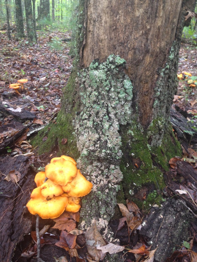
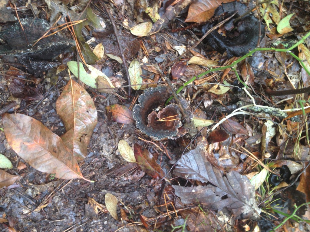
The scenery is stunning, the trees turning all different colors. The temperature was perfect, mid-sixties. There are rock formations almost everywhere you look. My kids enjoyed hunting for mushrooms. We know nothing about mushrooms though, so we just looked and took pictures.
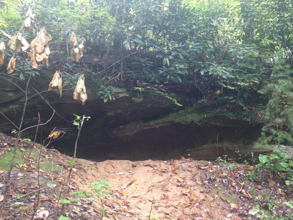
It was definitely a rough trail, but not undoable. All 4 of us did fine. We were about 1.5 miles in when we found the first of several rock shelters.
It was around this point we also found Gray’s Arch.
This photo was taken with a filter. I took several pictures, and this is the one that shows the arch best. I just wanted to get to the arch, so we continued. It didn’t seem that far away.
We continued down the trail, and found another rock shelter, and a cave. 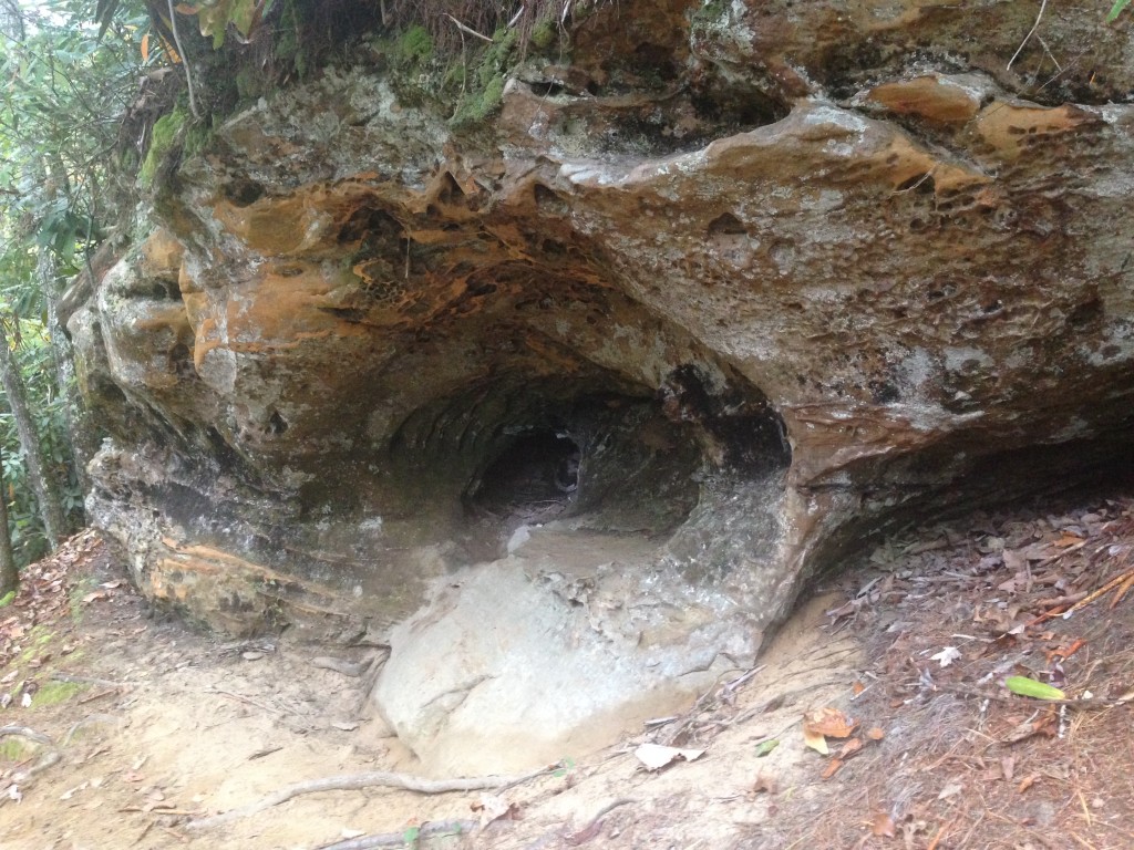
This cave is at the top of three very long, very narrow, and very steep sets of stairs. We finally reached the bottom of the stairs, and the trail forked. It seemed if we went right it would head to the arch. Left would head down another trail. As we discussed it, the sky broke open and the rain began. We rushed to the left, to get under cover of yet another rock shelter. We thought we’d wait it out for a bit. After 30 minutes, it was still pouring, and a bad storm was heading in. It was getting late, we certainly didn’t want to hike in the dark. And we’d already walked a mile into our “short hike” to the arch. It was another .50 mile to the arch. So, we decided to turn around and go back. The hike back was all uphill.
We realized we had made the right choice when we got up the stairs and saw the path.
And this was one of the best parts of the path. Wide, and no cliff immediately to one side. We vary carefully headed back to the car.
And that was the end of day one.
More to come soon, but I’m heading out of town again in the morning and I won’t be taking the computer. The next post will probably be next week.

