Category Archives: Adventures

Red Rock Canyon

I love Nevada. I always say I want to go back to Las Vegas, but, to be honest, I don’t actually care about the strip. I mean, I’ve been there, I’ve seen it. But, I’m not a drinker, and I don’t like crowds of people. I’m a very responsible gambler, so, once my money is gone (money I’ve purposely set aside, knowing I can afford to lose it all), I’m out.

This trip I really wanted to go on the observation wheel. We went at nights, which is pretty cool. You can see all the light, and even the fountains at the Bellagio from 550 ft up. The High Roller is huge. Each car is about the size of a small room. There were 6 of us, I believe, in the car. And we could walk around and move around, and none of us had to get anywhere near each other if we didn’t want to. They can actually hold about 40 people. The ride itself is about 30 minutes. I definitely recommend it.

IMG_9174

We had tickets to the Red Bull Air Race at the Las Vegas Motor Speed Way. The show didn’t really start until after lunch, so that left us with a morning to kill…plus, Vegas is 3 hours behind the time at home, so I was up and ready to go at 4am. Much to Brad’s dismay.

A friend recommended Red Rock Canyon. It’s a short drive off the strip…maybe 20 minutes. We had rented a Camaro and didn’t mind the drive.

IMG_9274This place is beautiful. It is $7 per car to get in. The road is a one way loop.

It isn’t crowded, but the road is narrow. And, there are a lot of people on bikes or motorized scooter type things that are going much slower.

There are 19 trails you can hike. There is also some serious rock climbing going on in some places. That was fun to watch. The trails average about 2 miles each. Though, there are some that are just under a mile, and one that is 6 miles long.

IMG_9235

I literally wore out my gym shoes the day we were here.

IMG_9234

If you want to hike in the desert, you need to watch out for snakes, wear plenty of sunscreen, (and a hat, I like hats), and make sure you bring plenty of water. It is hot and there are very few places you can find shade.

IMG_9246

IMG_9265


There is a campground located in the conservation area. However, it is closed June, July and August.

You can bike the scenic drive (almost 15 miles long, and one way), but not on the trails.

There are two off-roading trails if you have a 4×4.


Climbing all Day in St. Louis.

IMG_0663

On Monday night my oldest son said “You know where I’d really like to go again? City Museum.” City Museum is in St. Louis, Brad just happened to be working in St. Louis this week. So, I called Brad, we did some juggling. He changed hotels to one that allows pets, I started packing, and we told our son that we could go to City Museum. It is about a 6 hour drive from home, we got started late afternoon Tuesday and drove.

Wednesday morning I decided we probably couldn’t spend the whole day at City Museum. I remembered passing some signs on the highway for Cahokia Mounds, Historic Site. We decided to go there first thing in the morning.

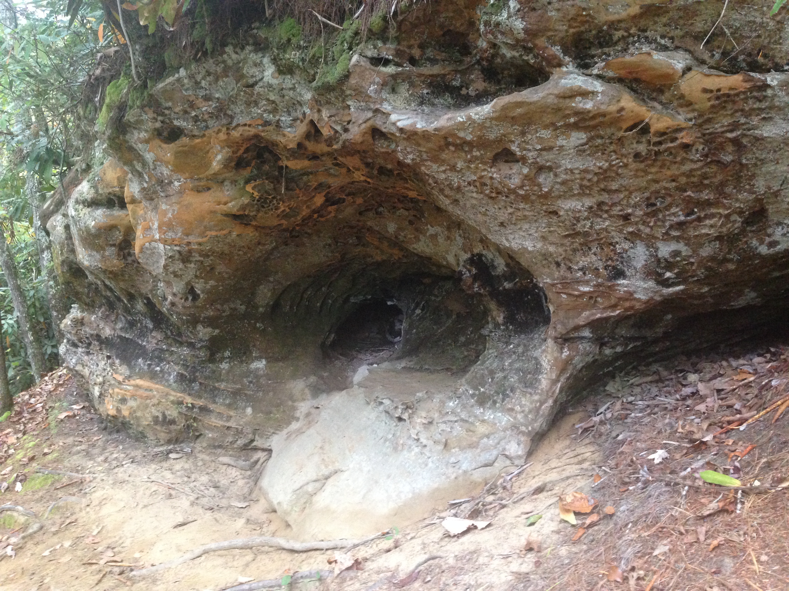
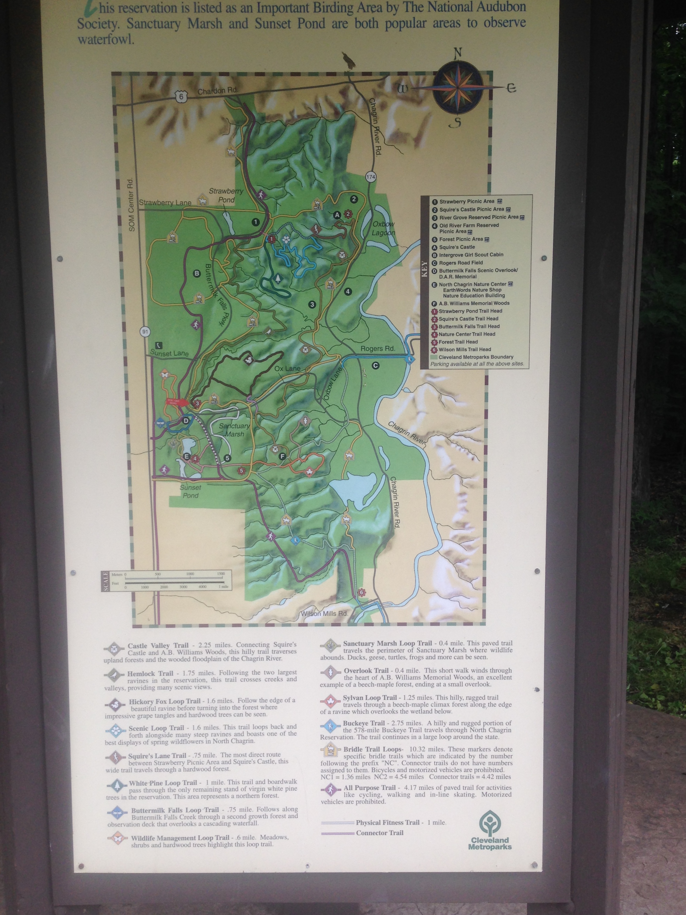
There is an interpretive center on the grounds, that gives the history of the mounds. There is a short, 15 minute video that you can watch. (The people that work there are all very happy to tell you that it is an award winning video.) It is really interesting. The rest of the building is a museum. There is a LOT of information there too. Toward the end of the museum they talk about how they excavate the area without damaging things.

From November to April the center is closed Monday and Tuesday. The rest of the year is is open 7 days a week. 8am to dusk. The center is free to enter, but has a suggested donation of $7 for adults and $2 for children, or $15 for families. I think it is worth it, they really try to make it a nice experience, with guided tours if you like groups, or iPod tours if you prefer to do your own thing.

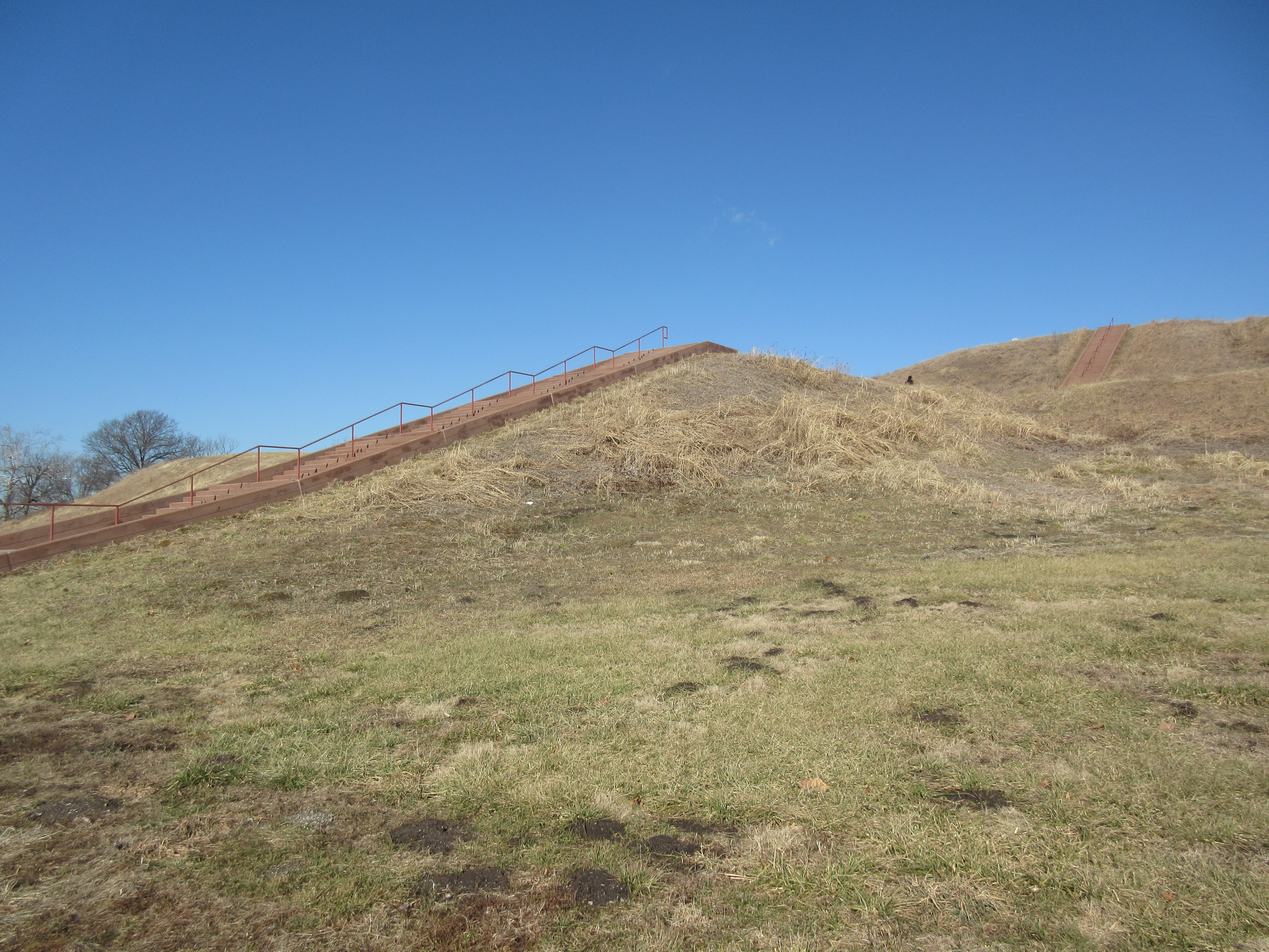
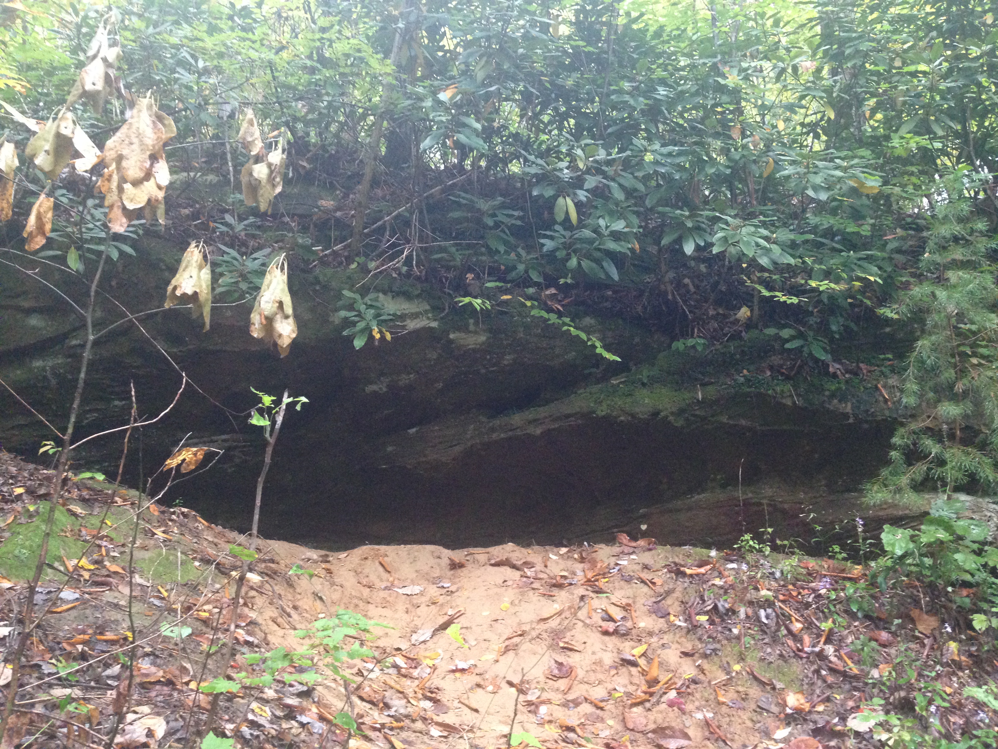
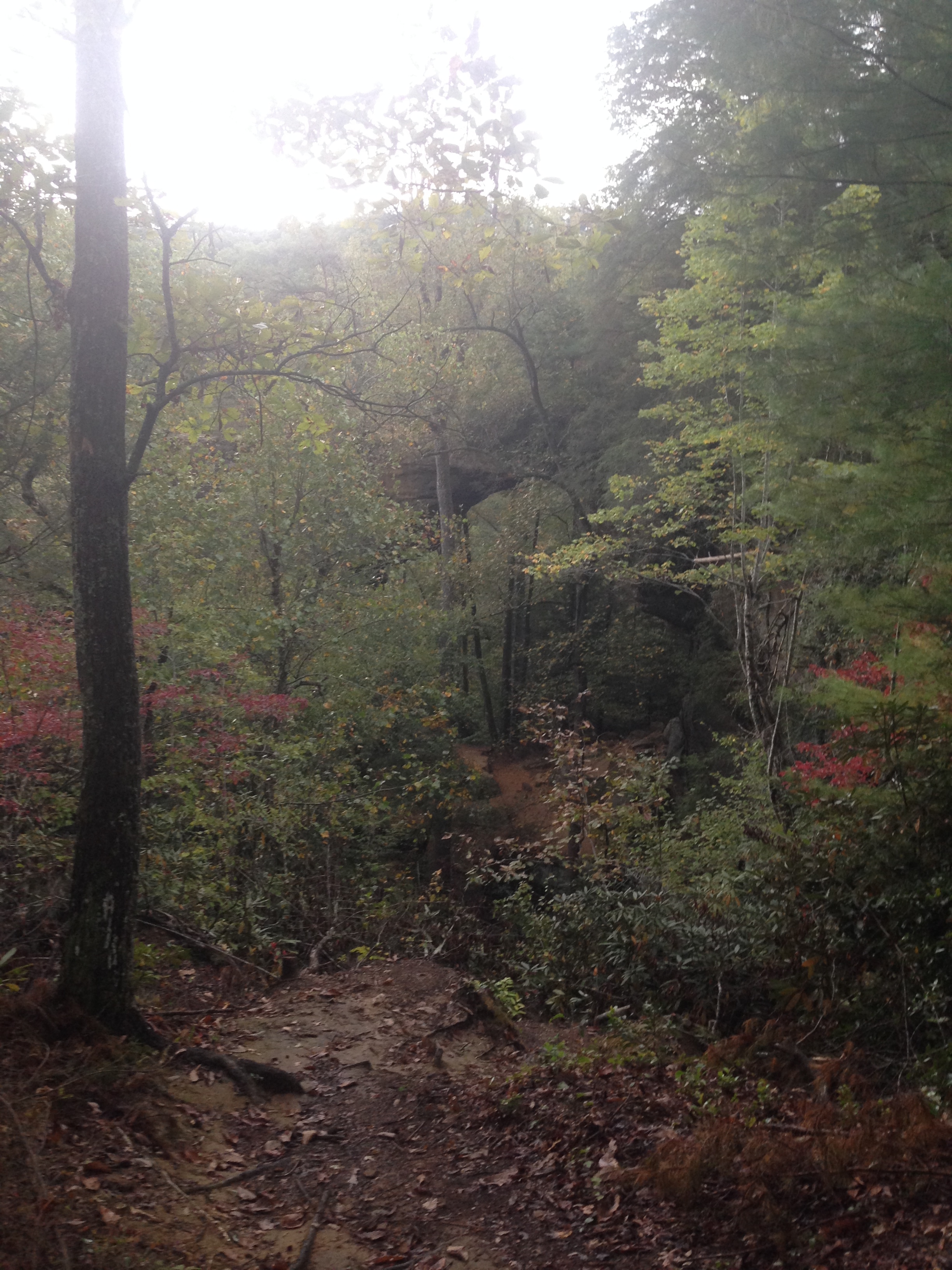
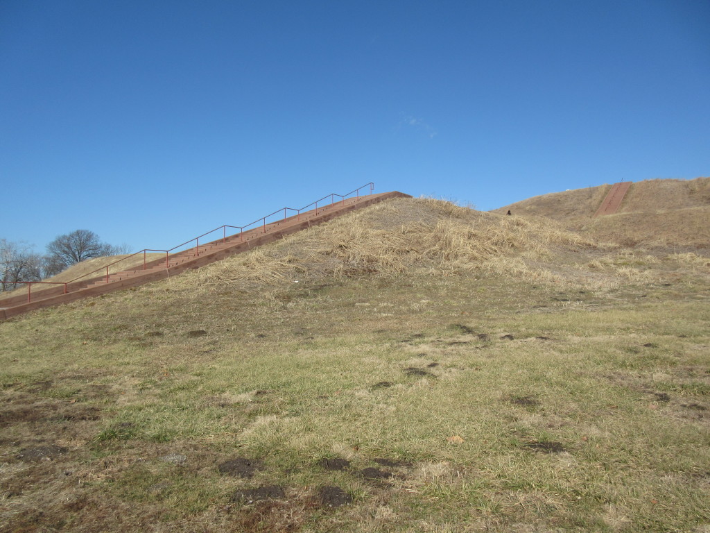
Around the Center are a lot of hills, in various sizes. Theses are the Mounds. I’ll write another post about the history (those have become my favorite to write.) The mounds were build around 1100A.D., using stone tools to dig the dirt out of the ground, and woven baskets to haul it to the site of the mounds. Some mounds were the town’s barriers. Some were to build houses on top of. And, most were burial mounds.

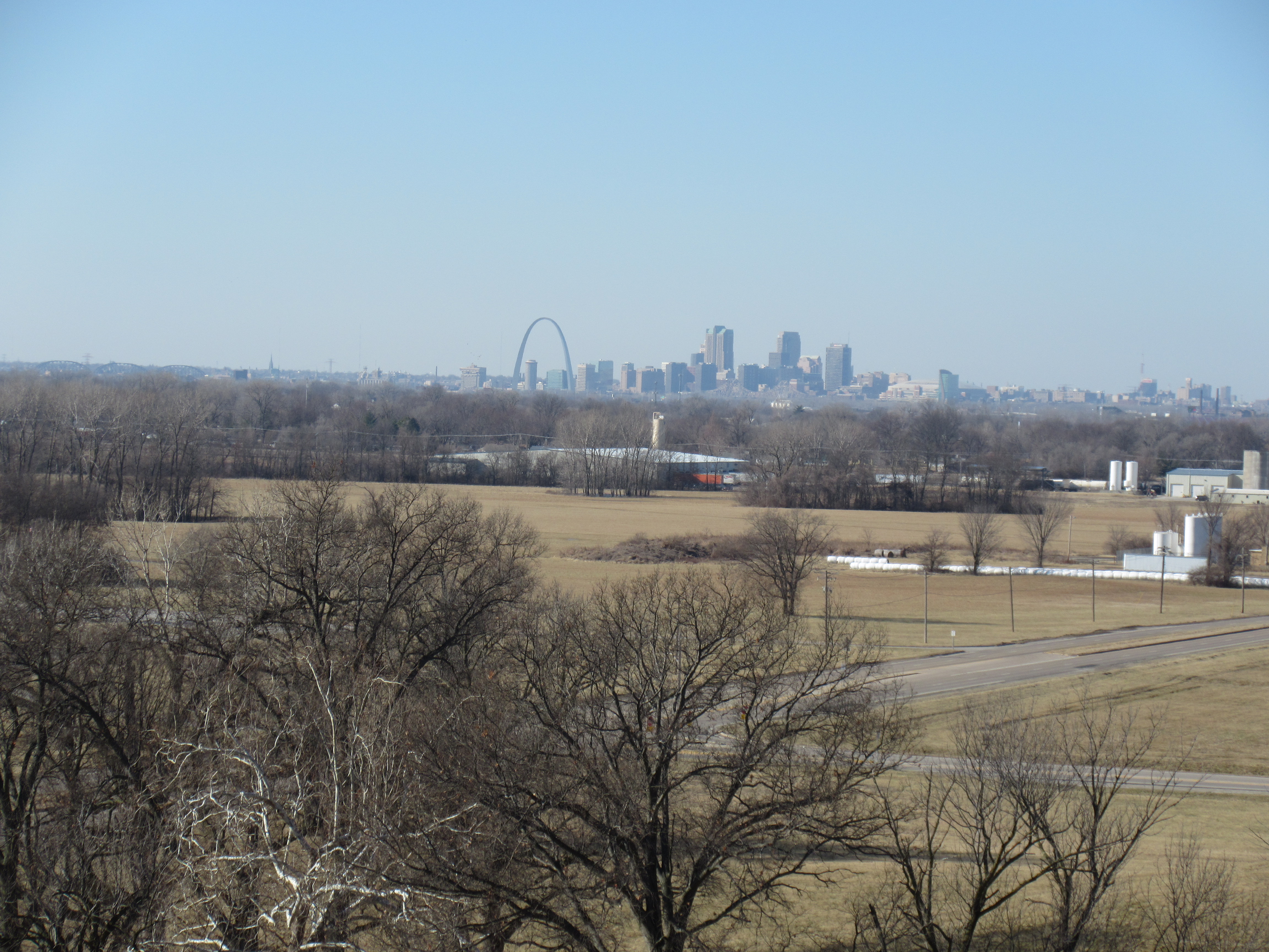
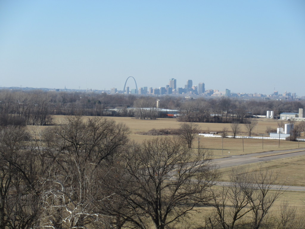
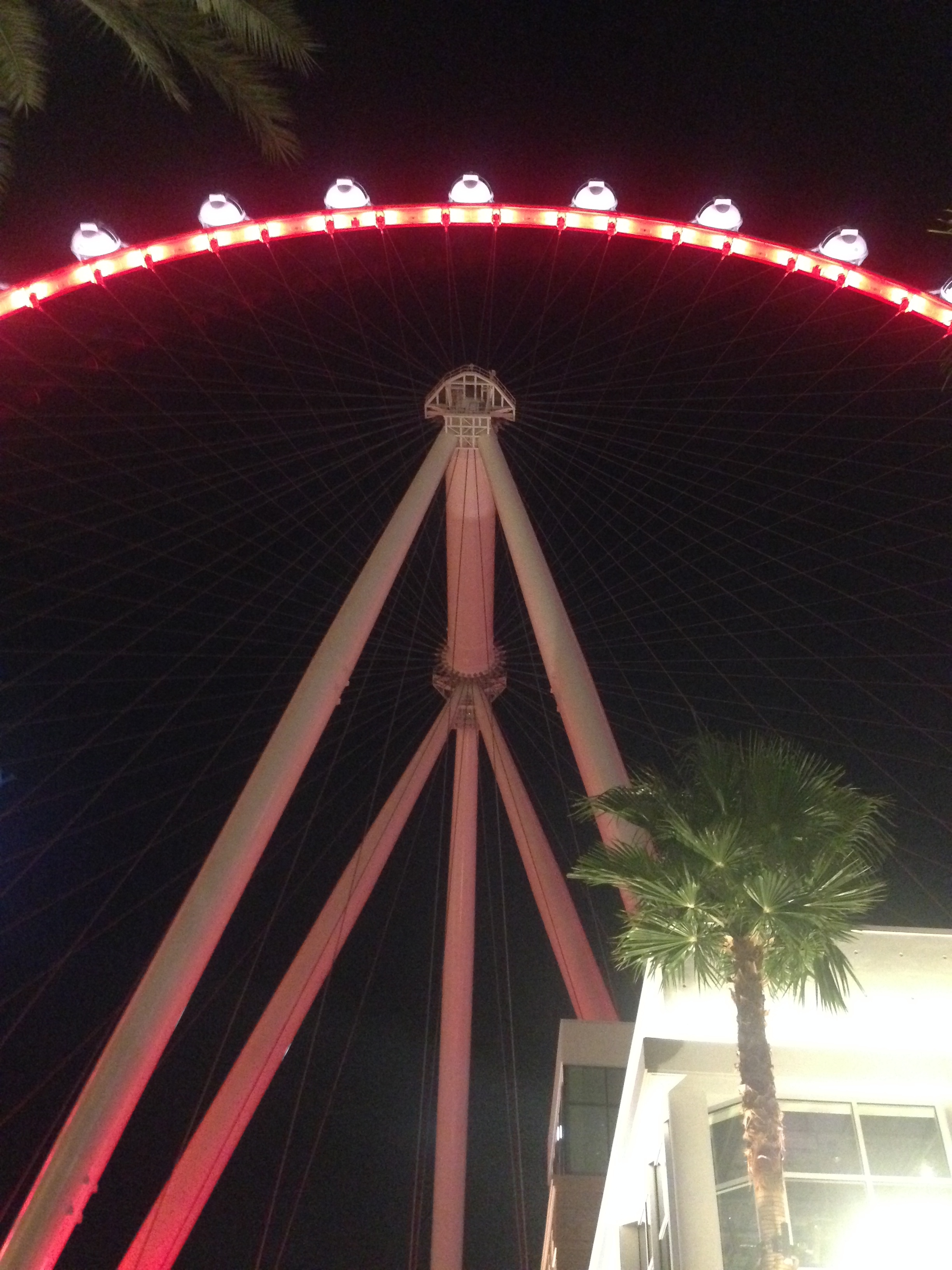
Monks Mound is the largest one, that is the one in the picture above. The Chief’s home was built on top of it. Monks Mound is the largest prehistoric earth work in North America. There are a couple hundred steps to the top, and the view from the top is pretty cool.

IMG_0669

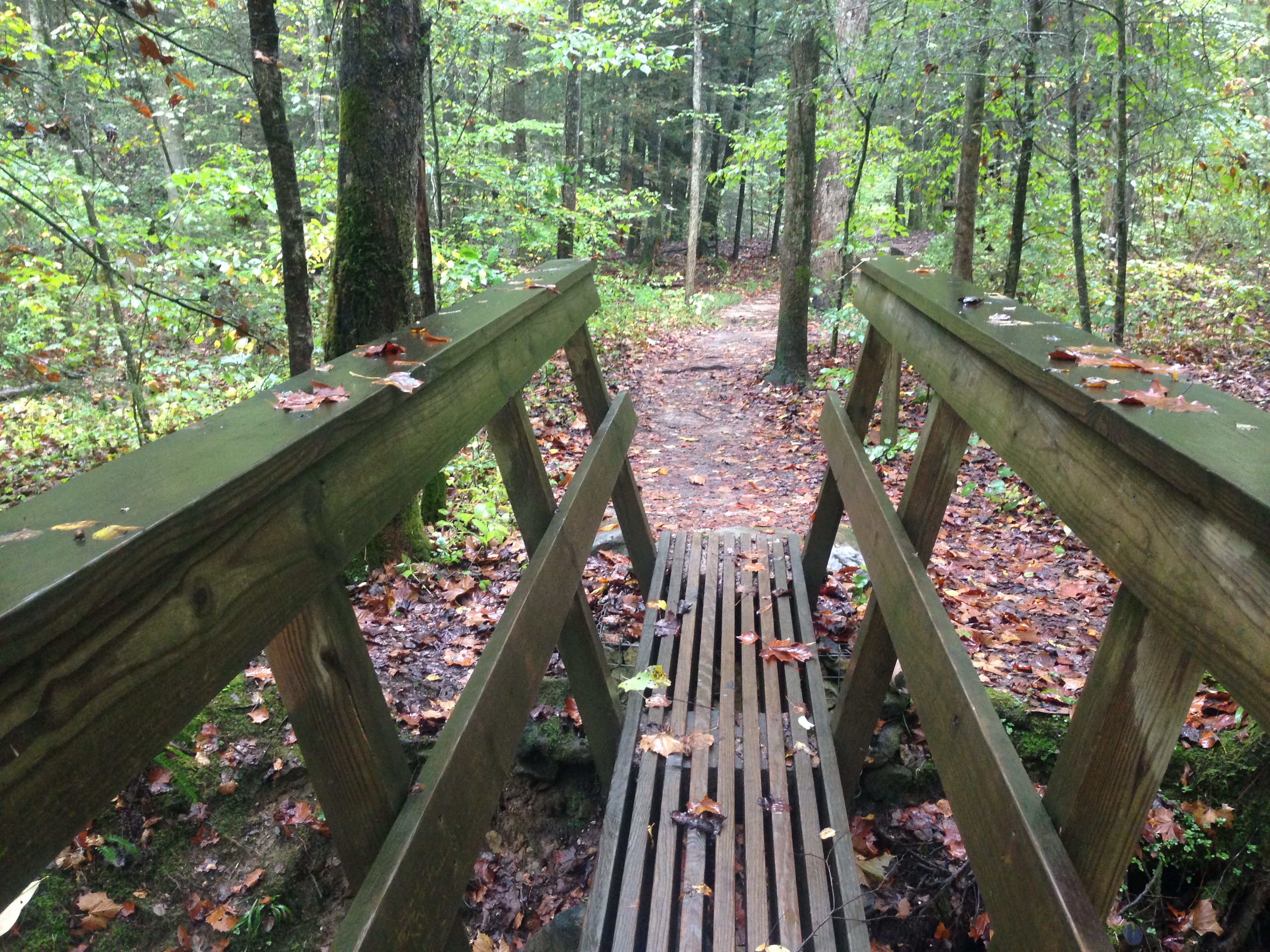
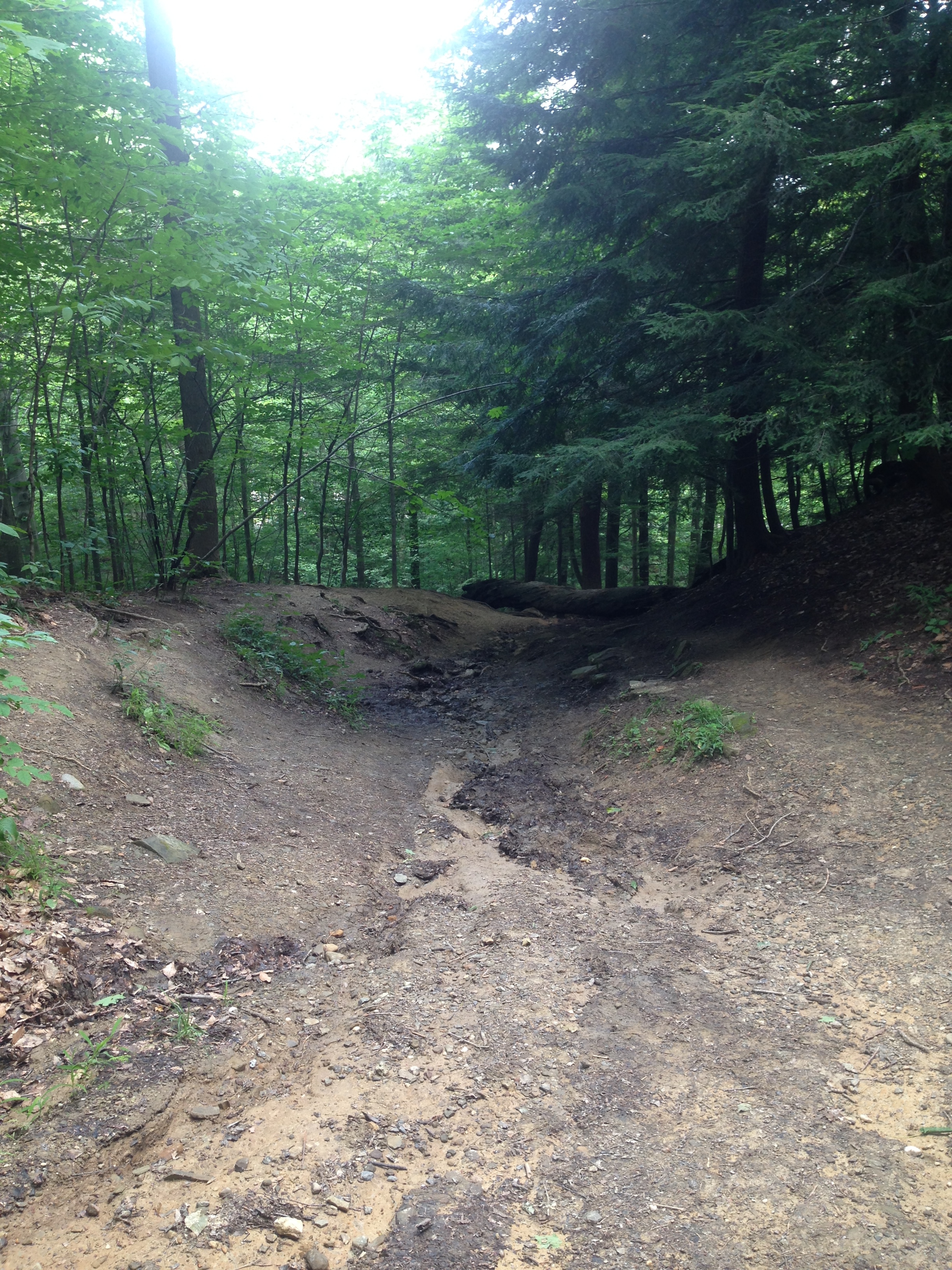
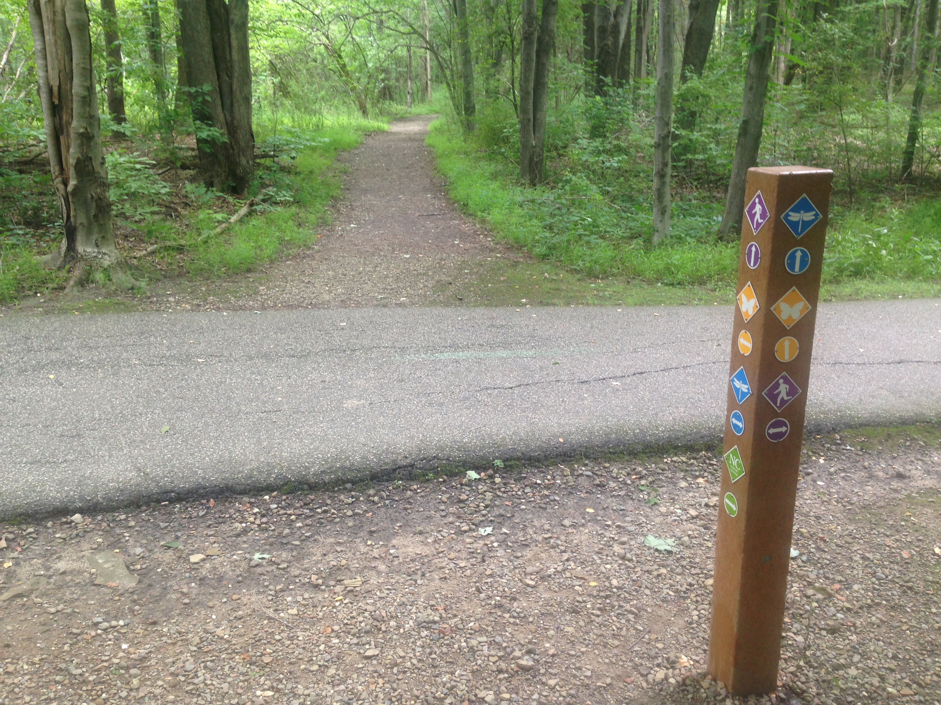
Weaving in and out of the mounds are several trails. Some, just a mile or so, up to 10 miles long. There is a play ground and a picnic area as well. There is also a spot named Woodhenge. It is a large circle made from pillars. They believe it was a sort of calendar.

I don’t think small children would be very interested in going here. My kids are 9 and 11, and they only pretended to be interested because I told them I knew where a Barnes and Noble was, and I was more than happy to go buy them a history book instead. But, once we got into the museum area, I had a hard time getting them out! I thought it was really interesting too.

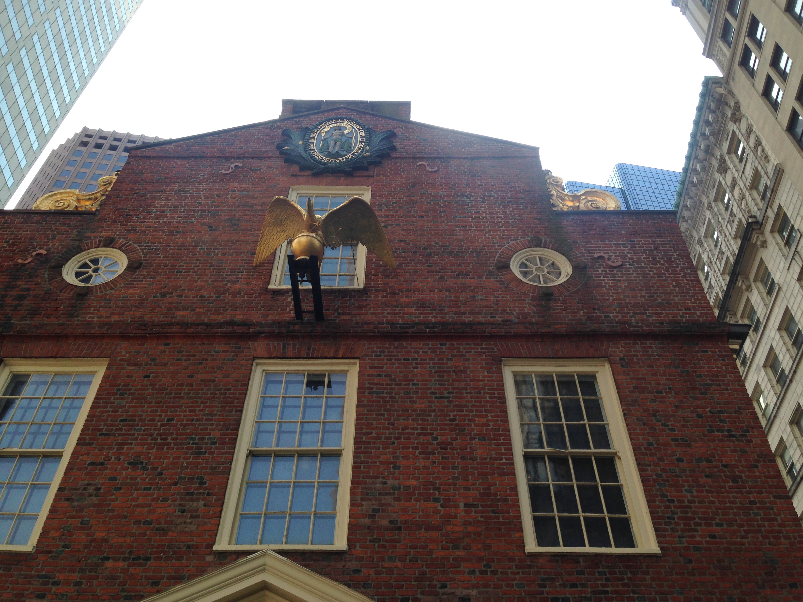
After the Cahokia Mounds, we headed to City Museum. We’d been here once before. When you pull up, odds are good you will consider leaving right away again. It looks very strange. I sent my husband some photos last time and he replied with “Are you playing in a construction zone or a junk yard?”

IMG_0672

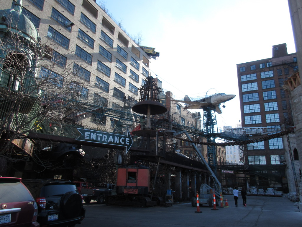
The best way I can describe City Museum is an Art Museum/Play ground. It is $5 to park, and $12/person to get in. Right now, they are closed Monday and Tuesday, they go back to open 7 days a week on March 14. They have a coat check inside, $1/coat. Or you can leave your coat in your car.

Wear real shoes, not flip flops, not ballet flats, wear gym shoes and make sure they are tied on tight. Wear pants. Jeans. I will have to take a picture of what my jeans looked like when we got done yesterday, I got caught, somewhere, and my back pocket is destroyed. Next time, I will use a carabiner and hook my camera to my belt loop. I learned that the hard way, after my camera fell 20 feet.

There is a small snack station down stairs and a pizza/deli type place upstairs. It’s really expensive, that is why we went after lunch. Down stairs by the snack station in a pool. Filled with turtles. Off the side of the eating area is a bathroom. The door doesn’t lock, and the water is iffy. IMG_0446

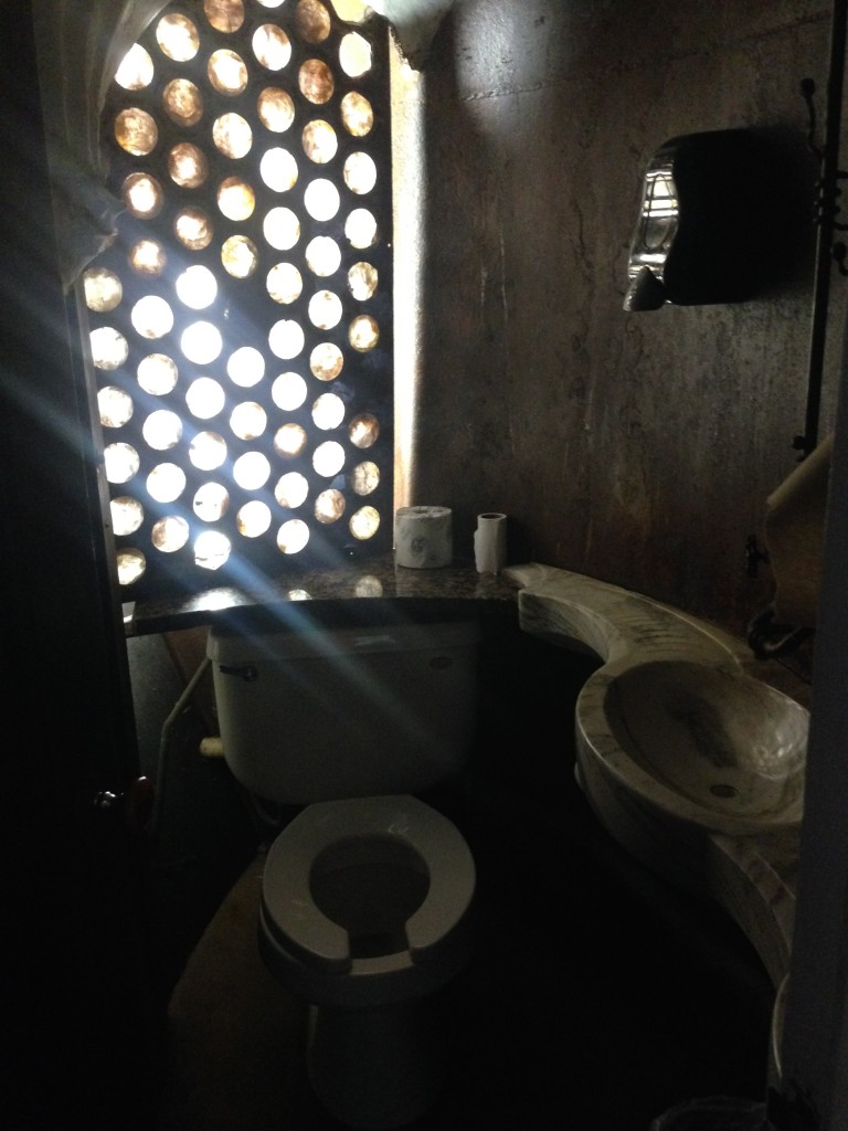
Yes, the bathroom gets it’s own photo, because it amuses me that this is considered perfectly fine. There are more modern bathrooms, like you’d expect to find in a museum as well, but, that isn’t interesting.

IMG_0706

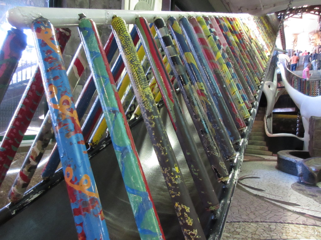
This is a 3 story slide, right by the entrance. There are SO many slides here. There are random stairs, and ramps. Take them. There are holes in the floor, that lead to tunnels, that take you to different areas. Some stairs take you to a slide. Some take you to the ceiling, where you can slither your way around the first floor, above the other guests. There are wire cages that make their way up around fake trees, climb through the cages. There is a giant hamster wheel to run on. There is a stateless park to run on. It looks like a skate park, but you can’t skate.  There is a fish tank with piranhas and a 35 pound catfish. The gift shop sells knee pads, if that tells you anything about this place.

IMG_0709

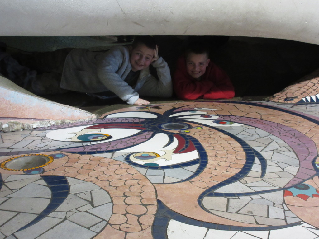
They are laying on the floor, under a giant whale. Behind them is a hole in the floor, that leads to a pitch black tunnel, that leads you to a set of stairs, that will then take you to the ceiling tunnels.

IMG_0468

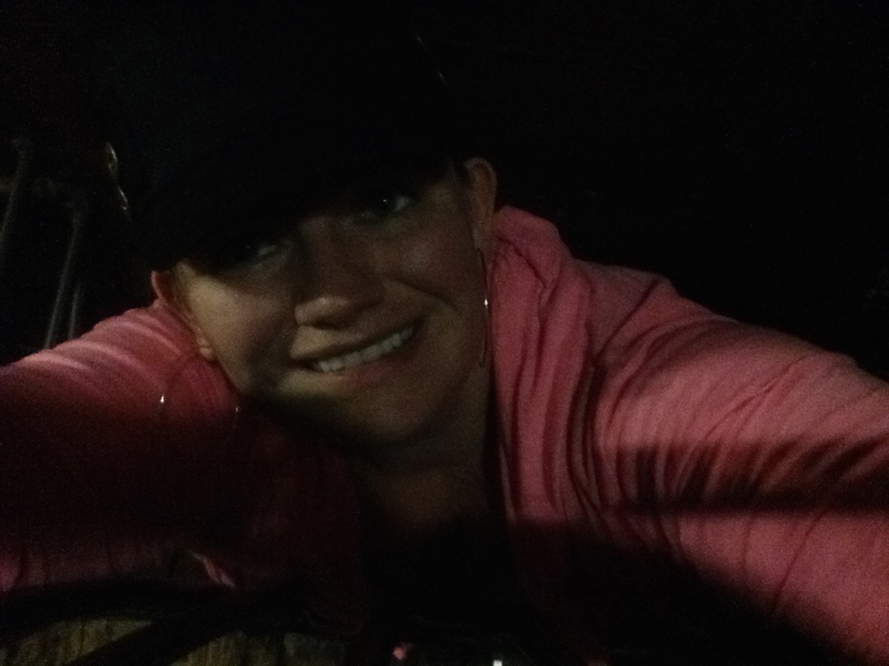
This is me, in one of the ceiling tunnels. I’m laying flat on my stomach, my head is touching the top of the tunnel. So, it does get a bit tight in some spots.

IMG_0473

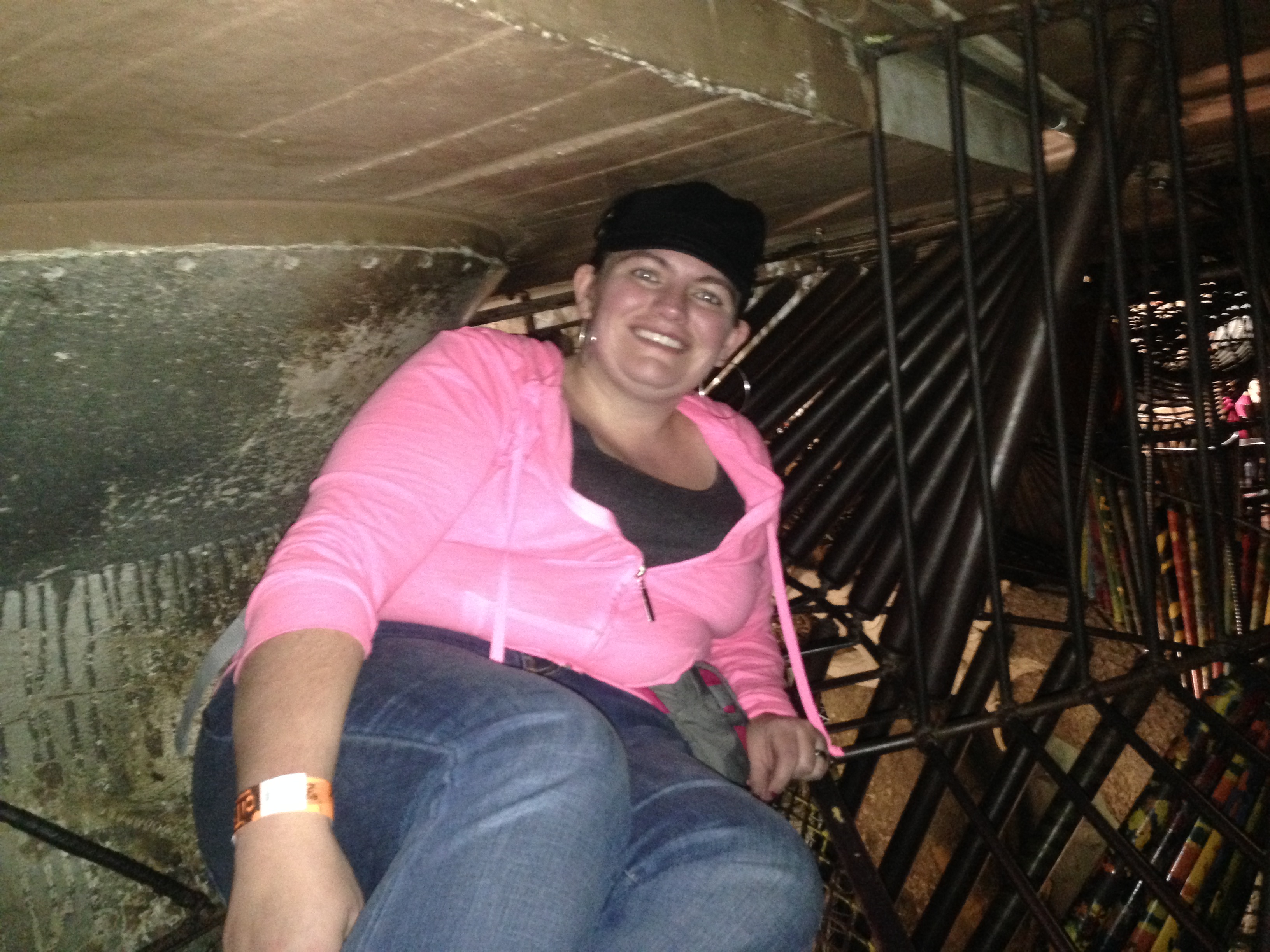
But, most of the tight areas aren’t much worse than this. I’m still in the ceiling. There was enough room for me and two boys to move around each other.

IMG_3230

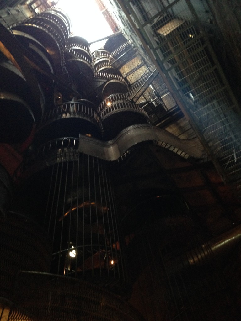
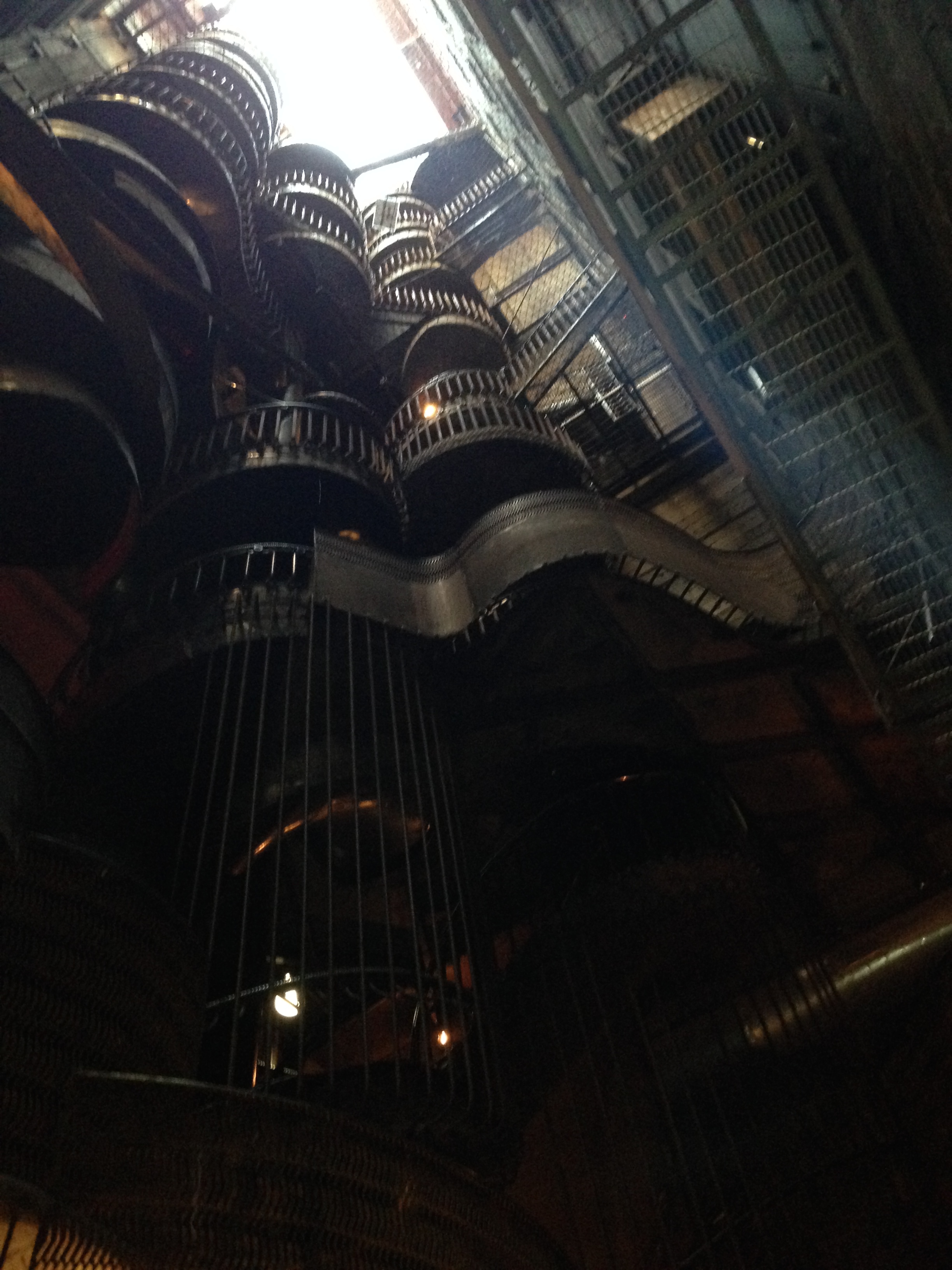
This is the view up, from the bottom, of the 10-Story slide.

When you are done inside you can head out to MonstoCity. It is the outdoor area. There is also a rooftop play area, with a ferris wheel, but we are never there when that is open. It is only open in the warmer months. MonstroCity has a giant ball pit.

IMG_0506

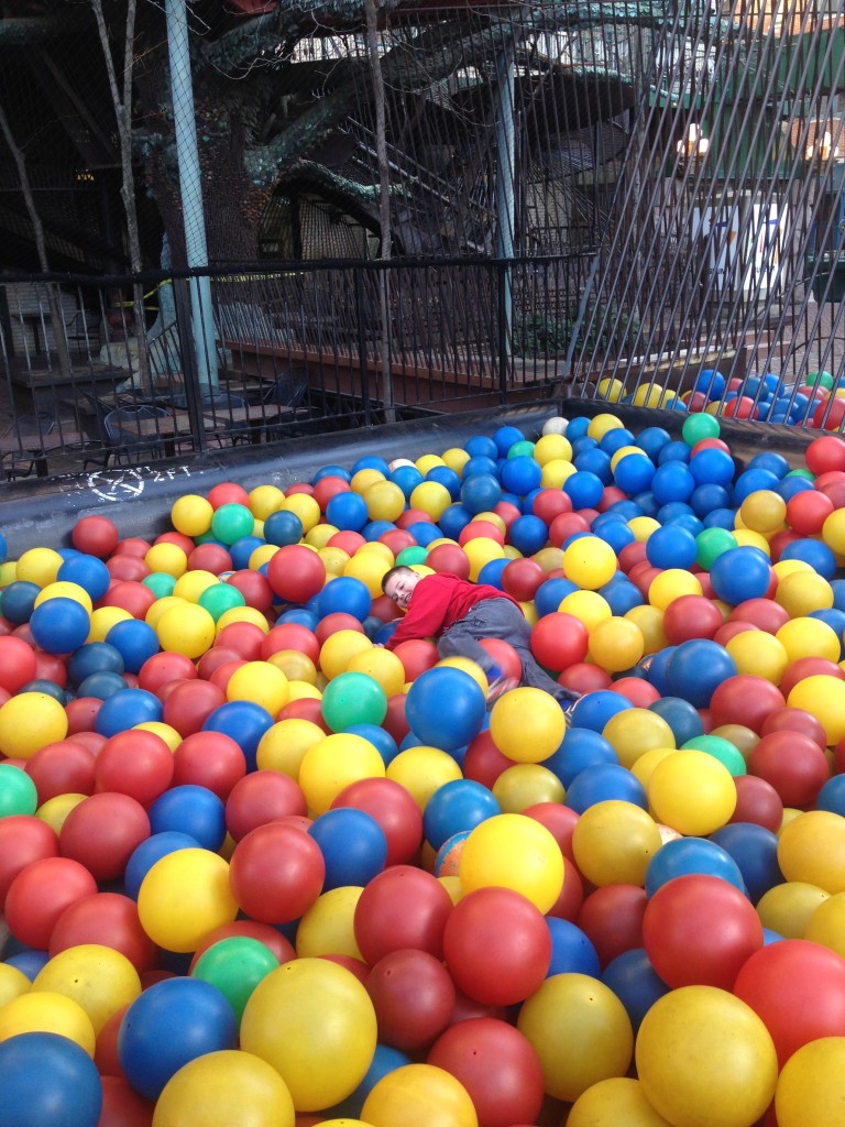
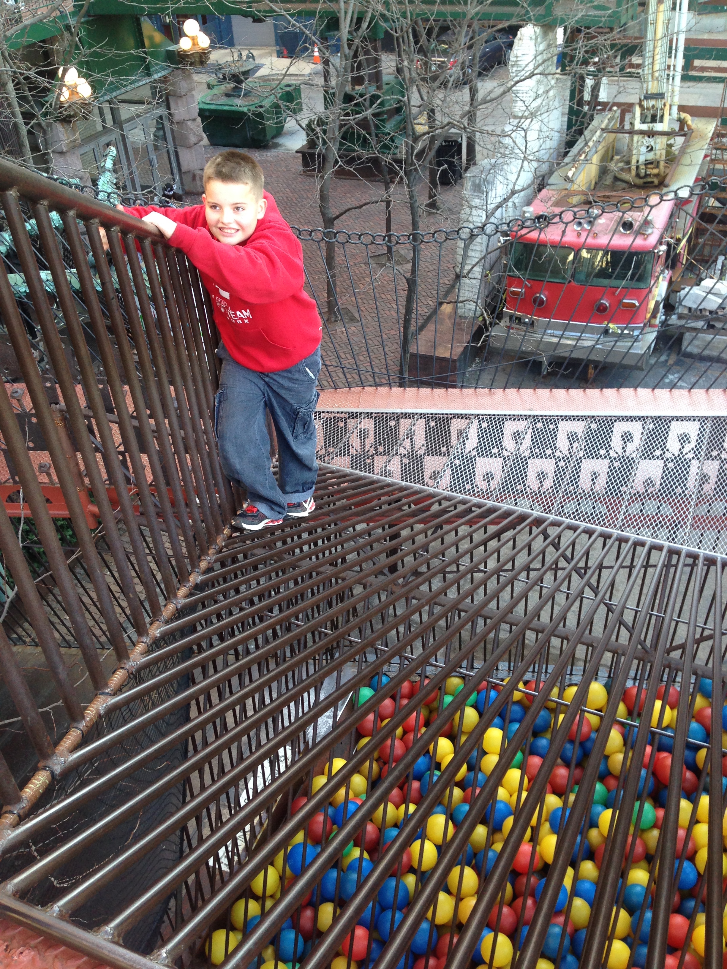
I took the photo with my son for scale. If you get bored in the ball pit, you can climb it.

IMG_0525

I would just like to say, that child is afraid of heights. That is a real fire truck on the ground behind him. But, the rest of the play area was too irresistible.

IMG_0535

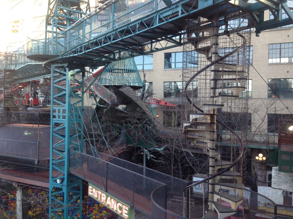
I’m pretty sure, almost everything in that picture can be climbed or walked across. That blue, cone-shaped thing? It has rebar steps to the top, where you can squeeze out a small opening, then down a crane boom, to another slide.

We spent about 4 hours there. The last hour I just sat and stared at the ceiling to watch my kids climb across. I don’t have a lot of pictures of my oldest, because he has no fear and runs off before I can even give him a warning of what to be afraid of. My younger son is in the pictures, because he stays near me most the time.

I had grand plans for today, and woke up to an 11 yr old, puking and crying. He’s napping, and I’m writing.

Maybe we just enjoy the nice hotel room today, before heading home tomorrow.
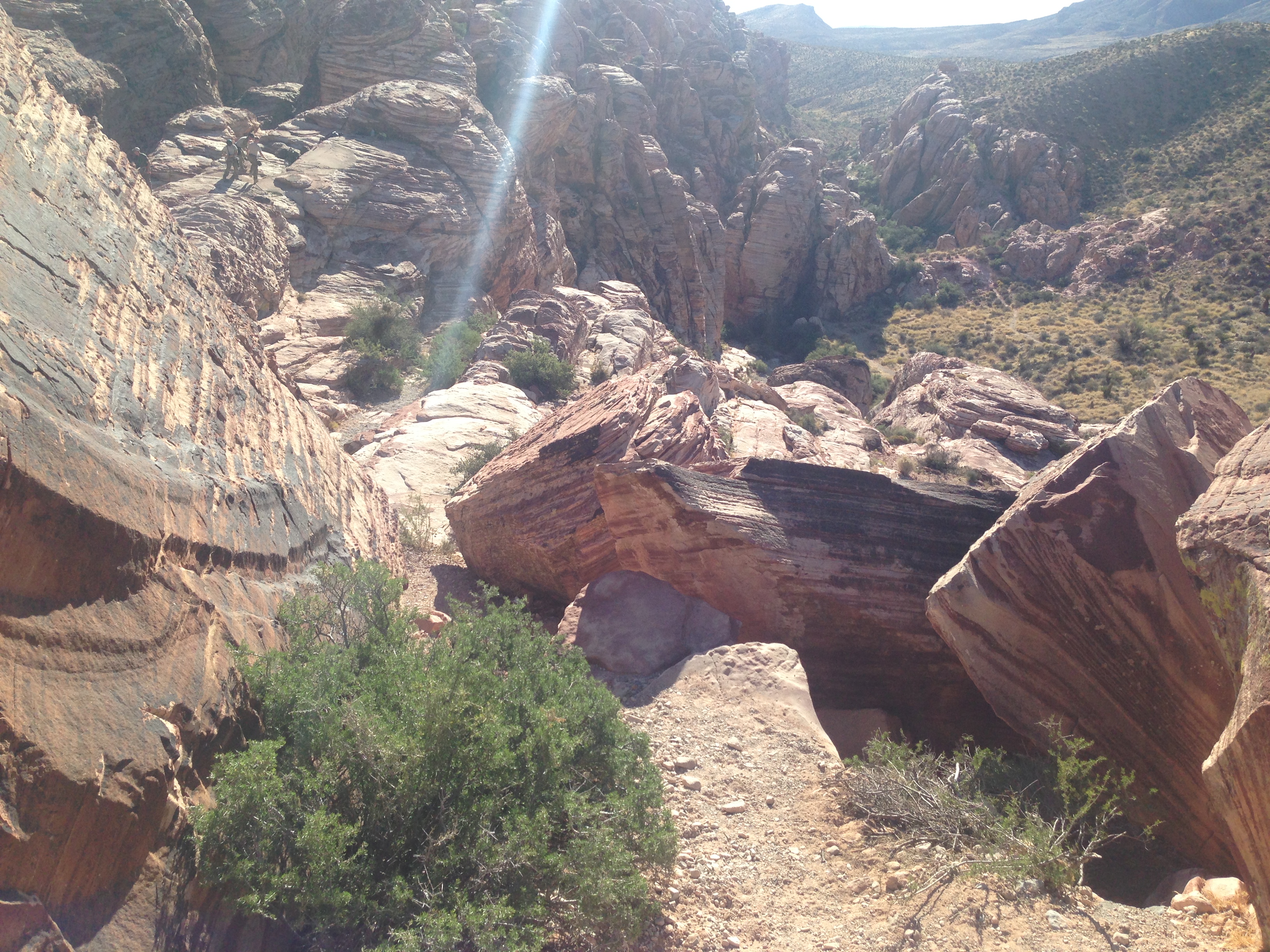
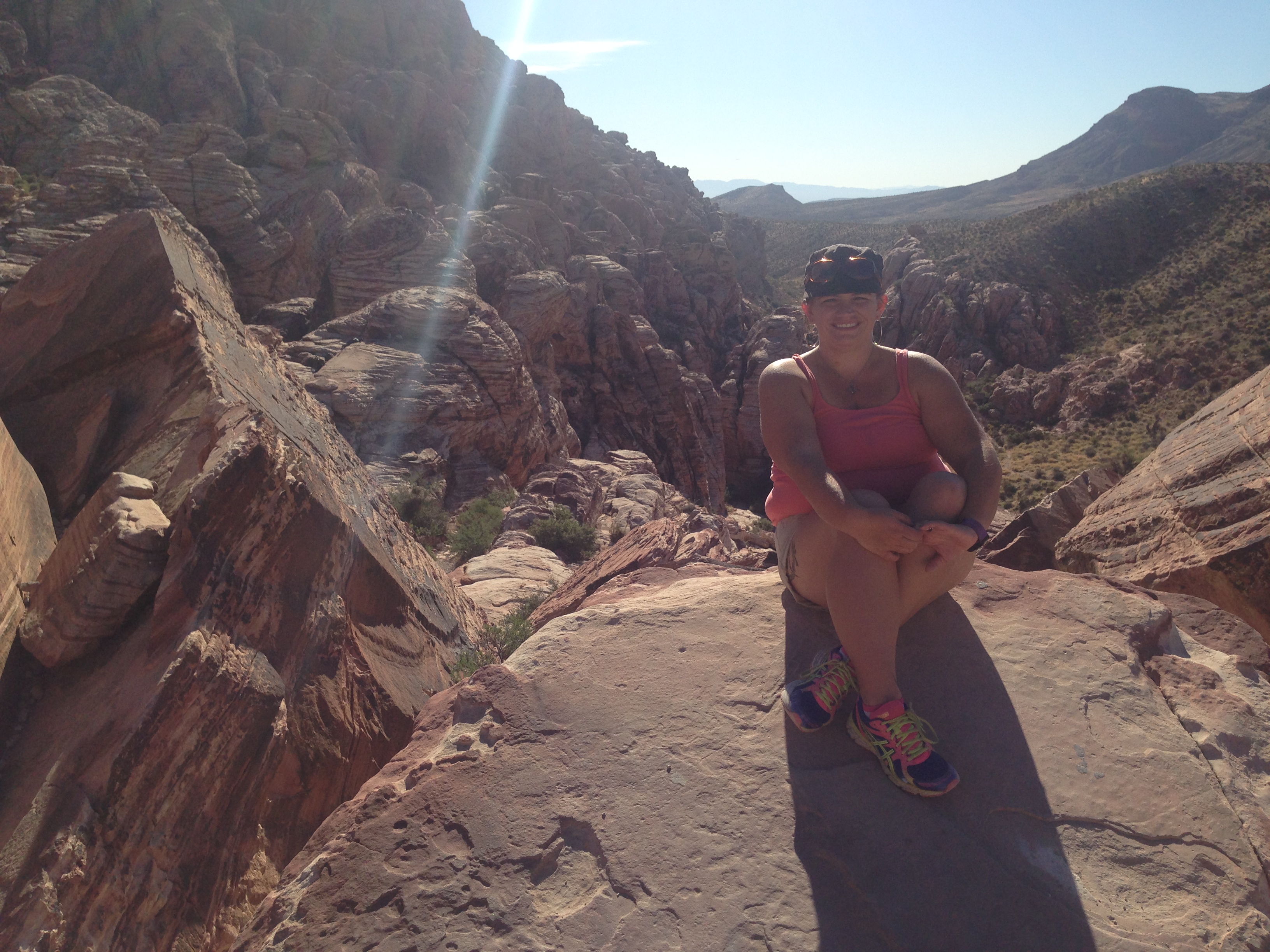
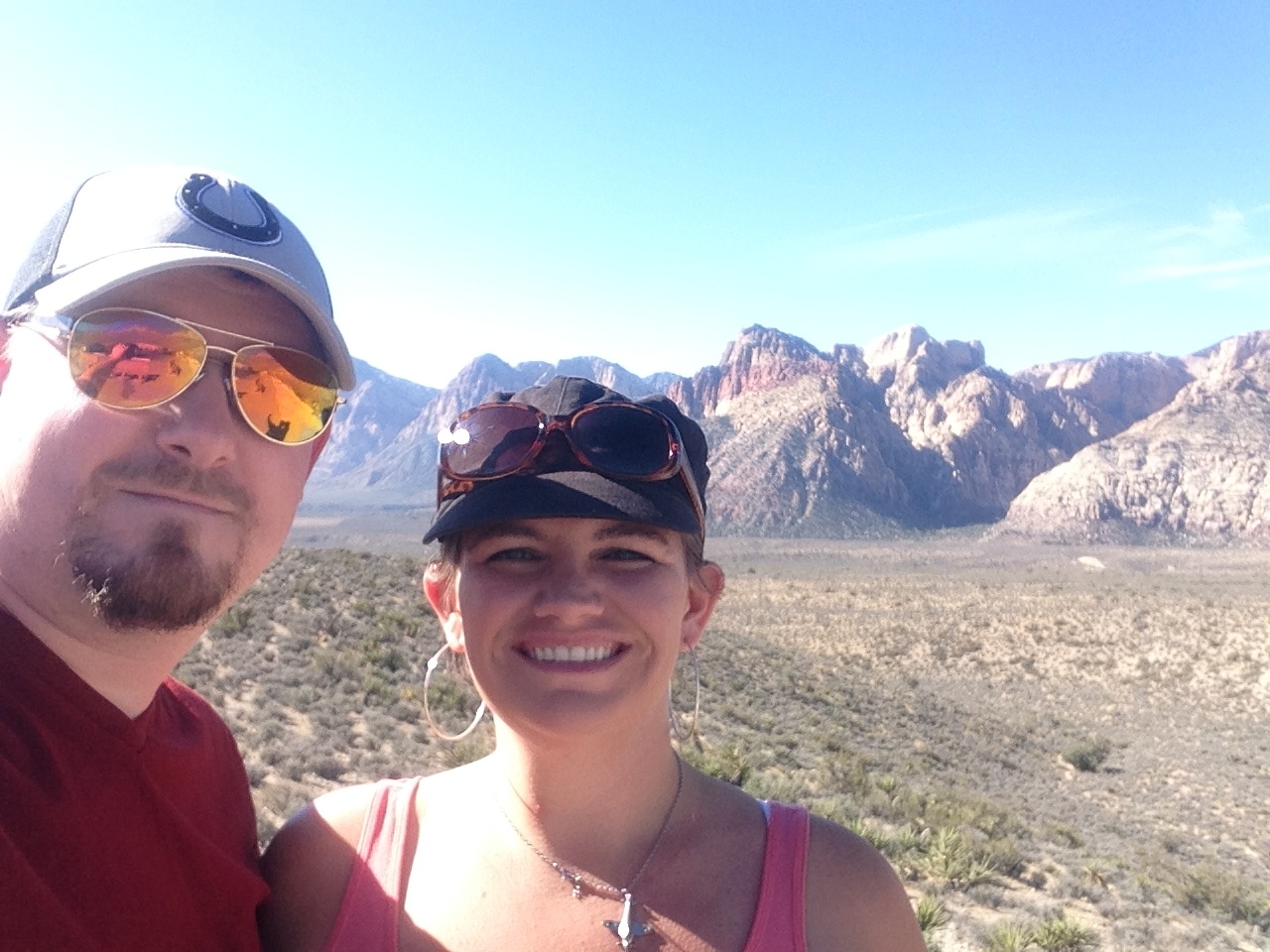
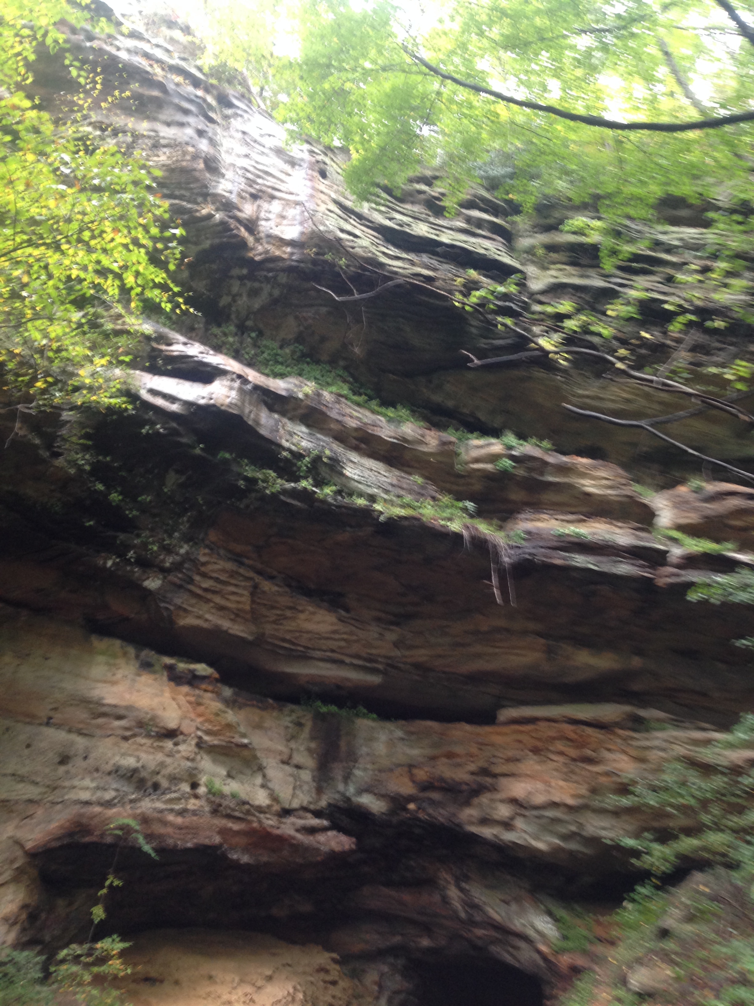
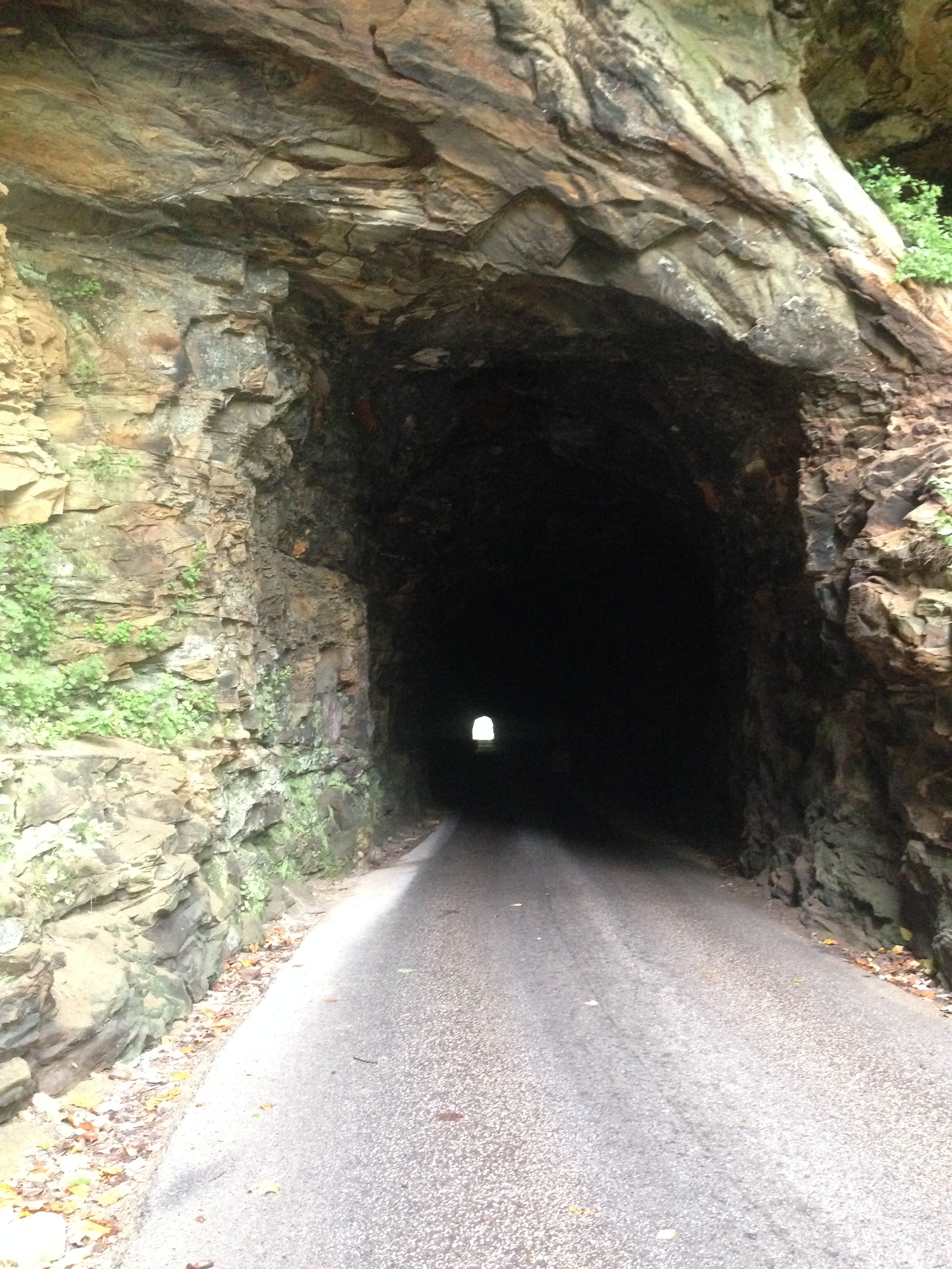
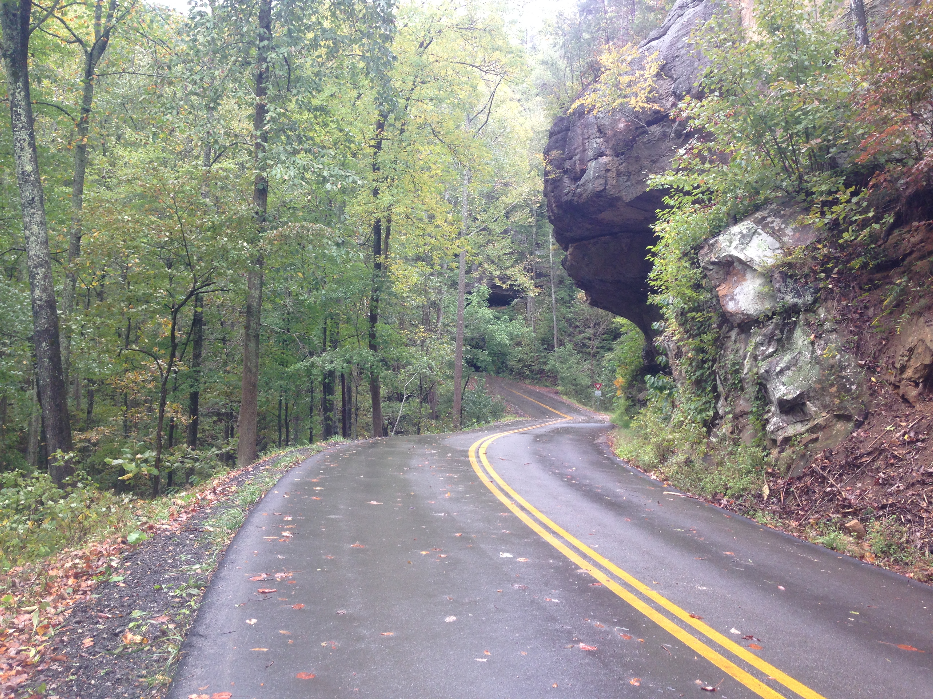
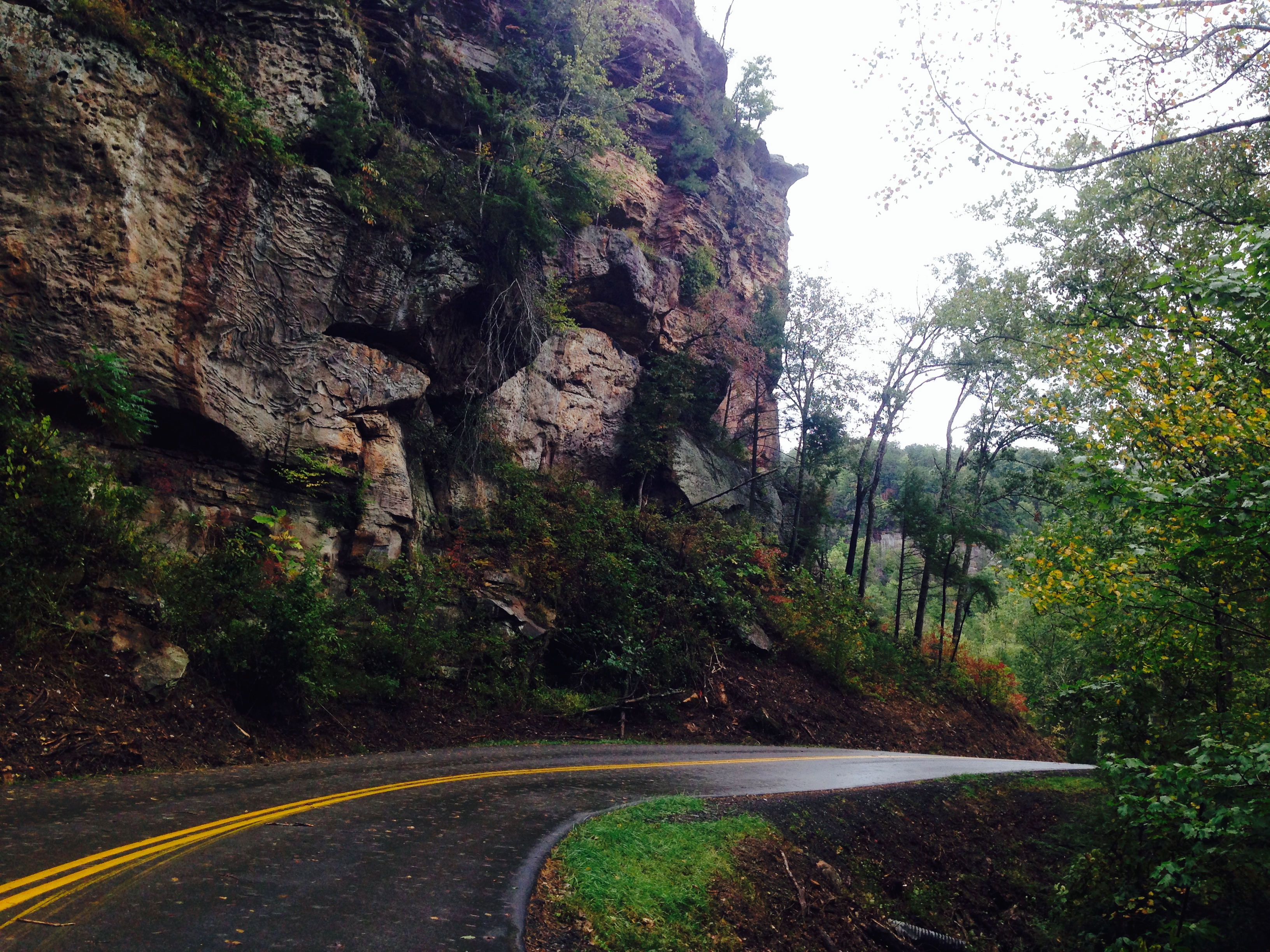
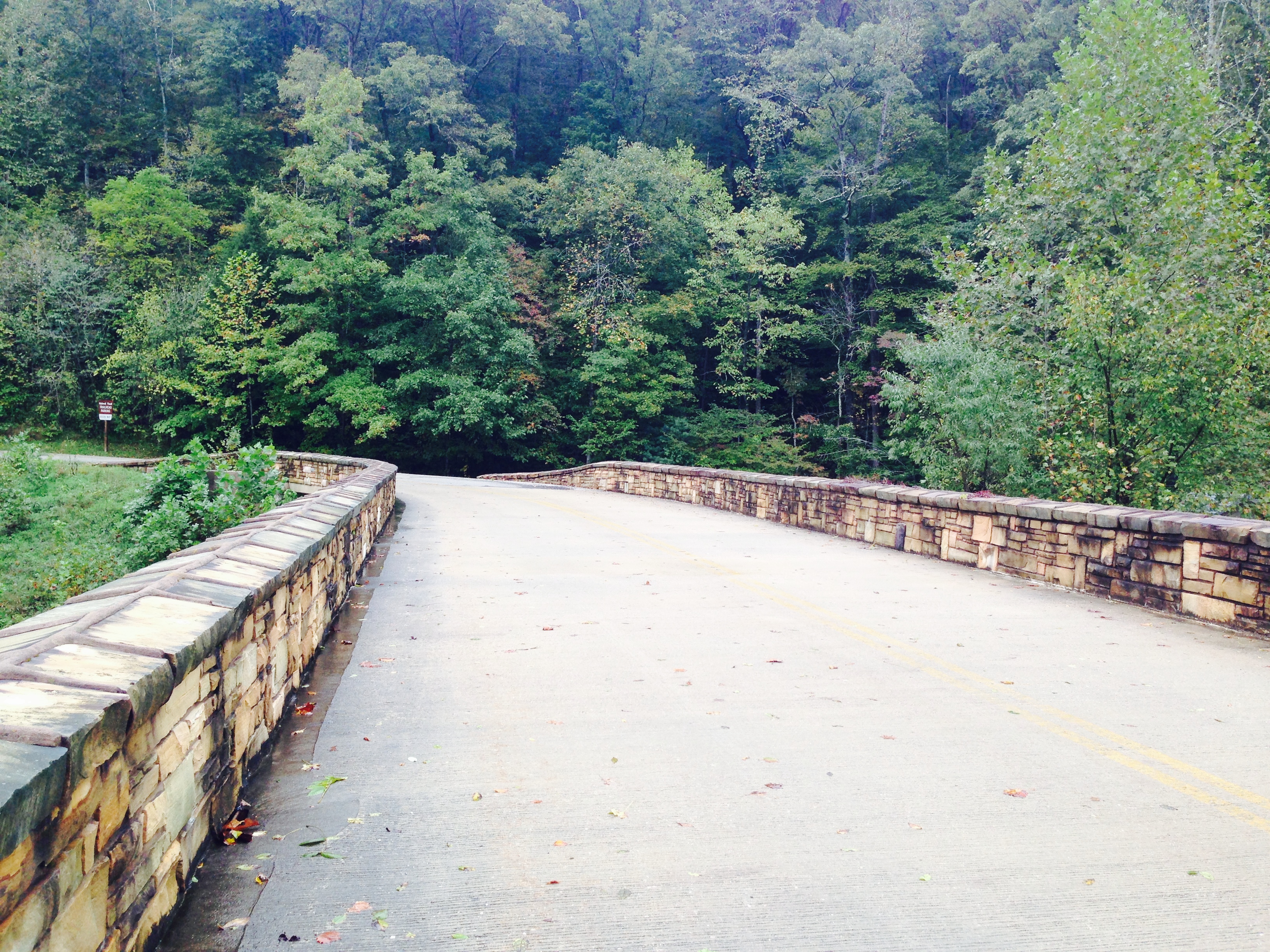
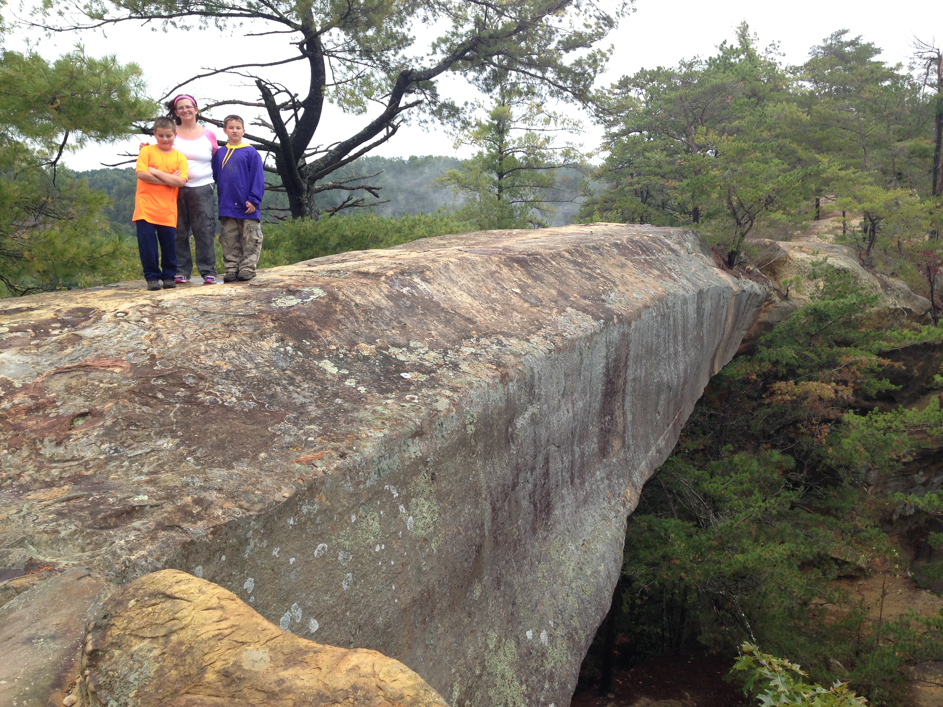
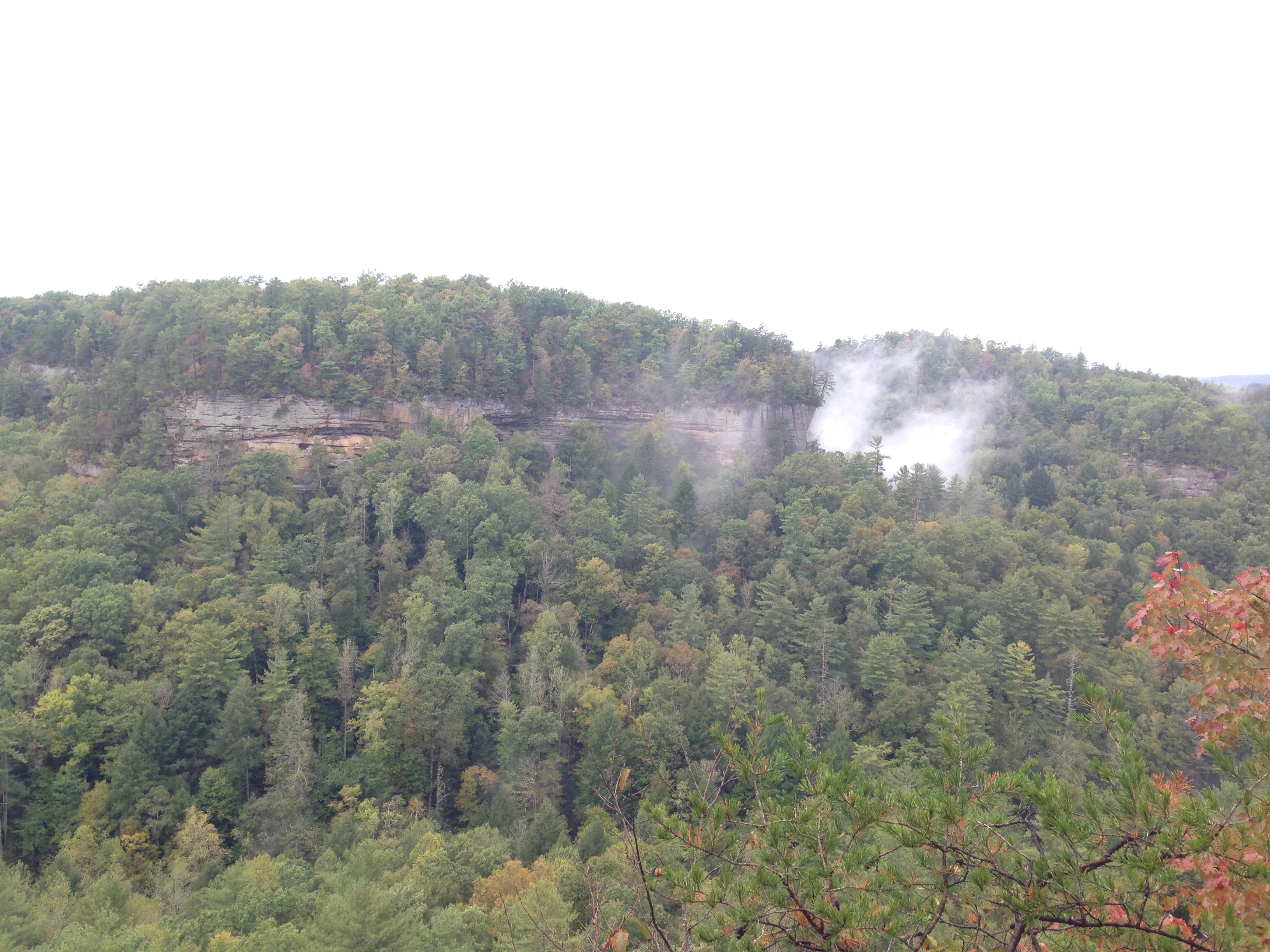
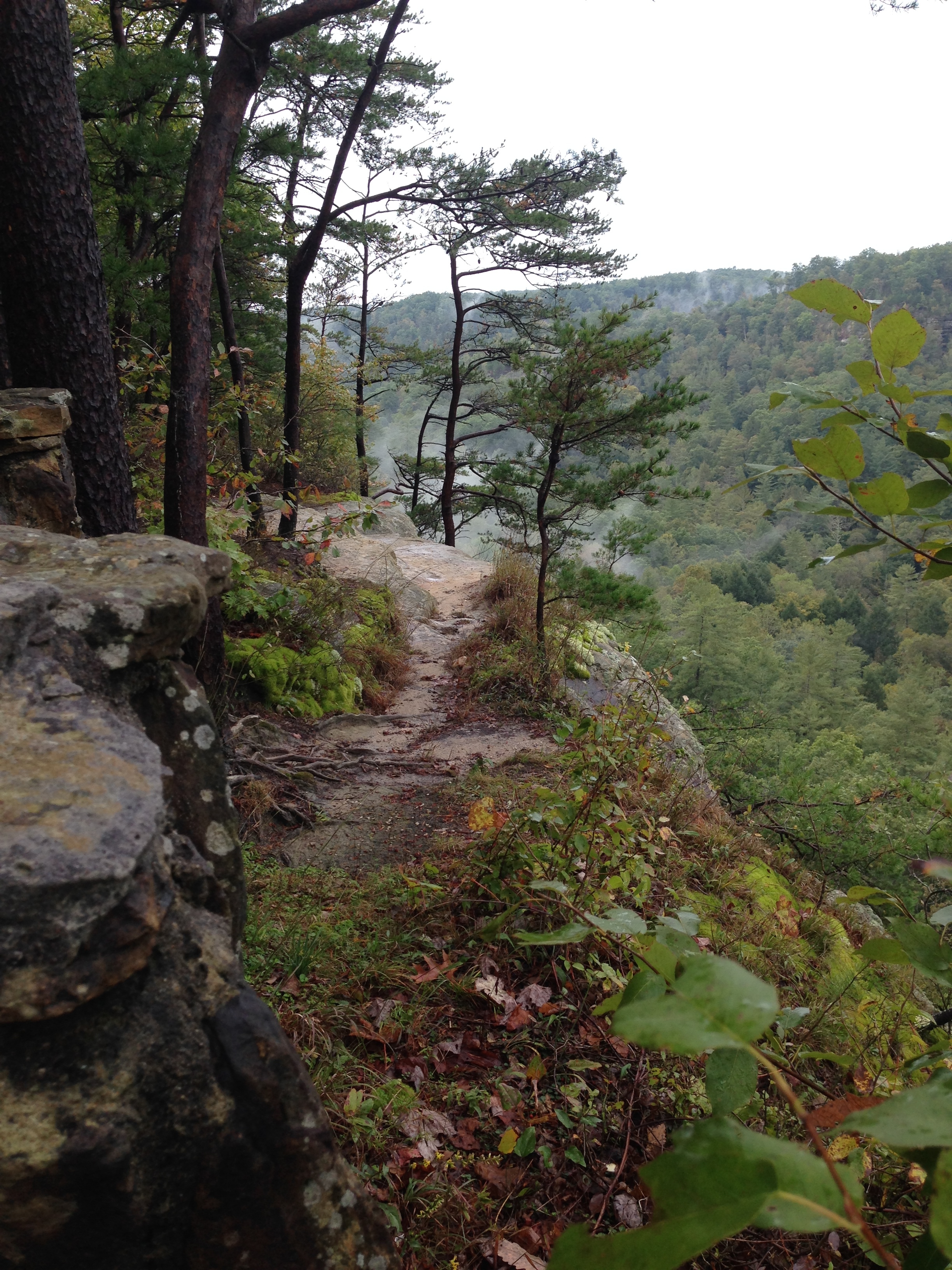
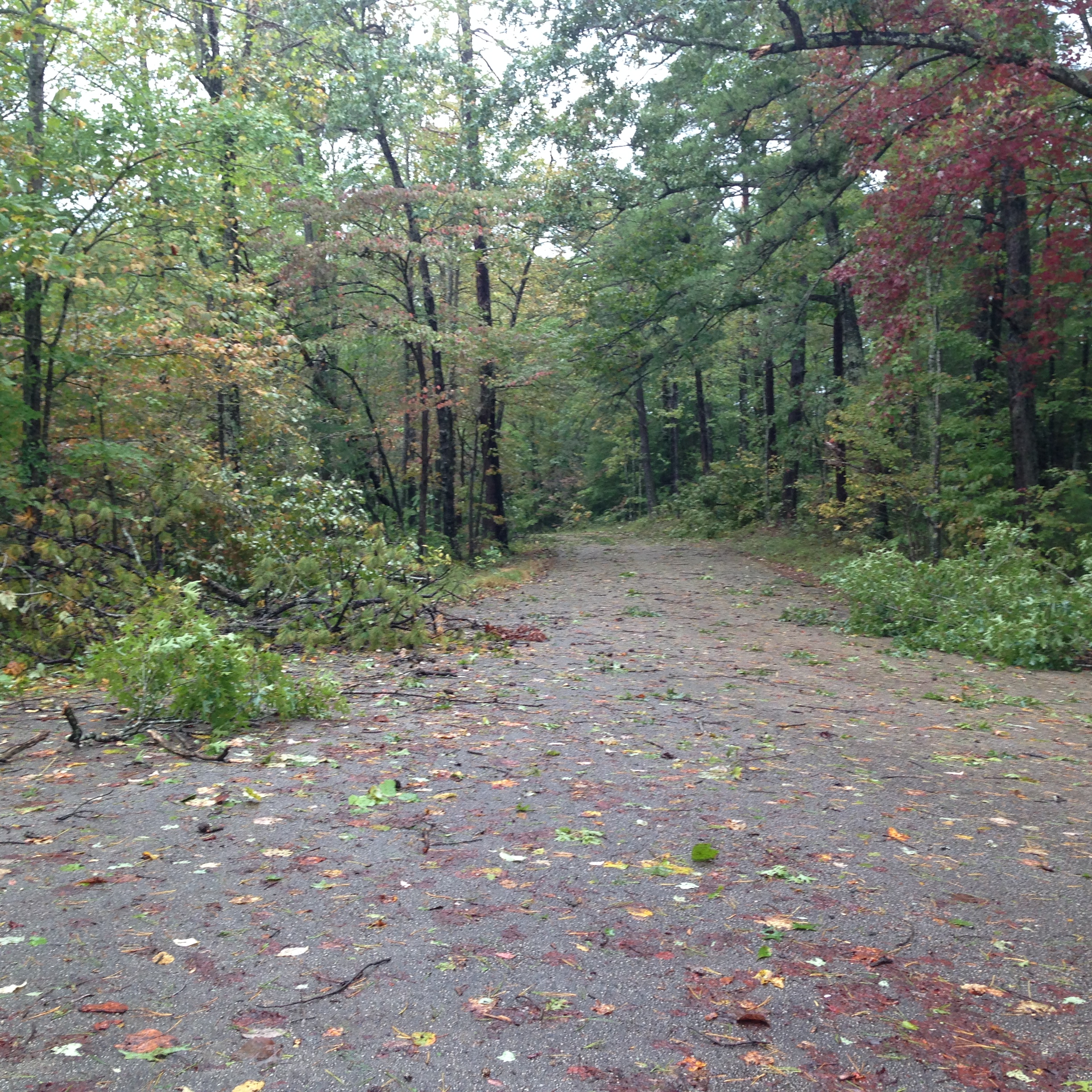
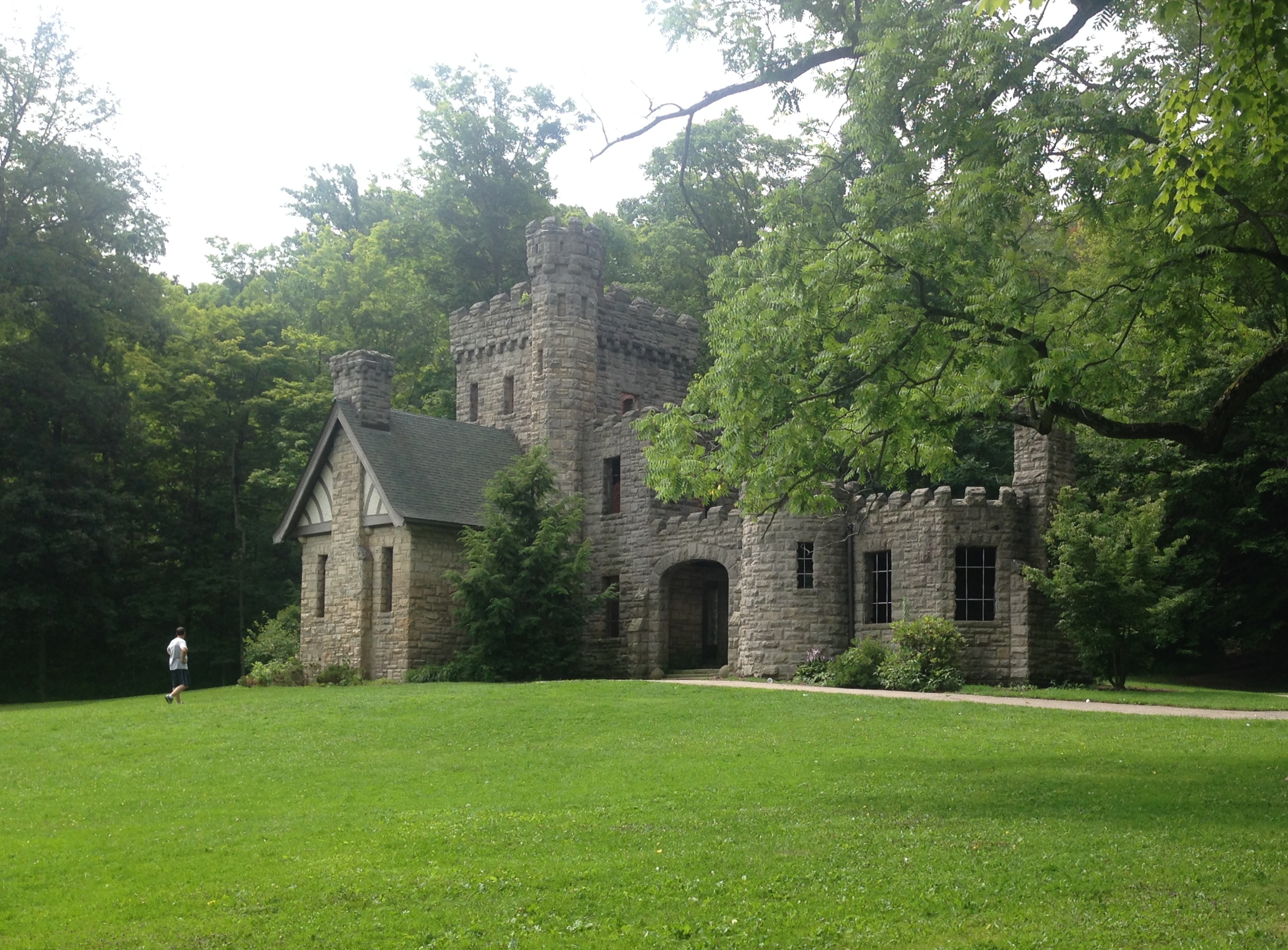
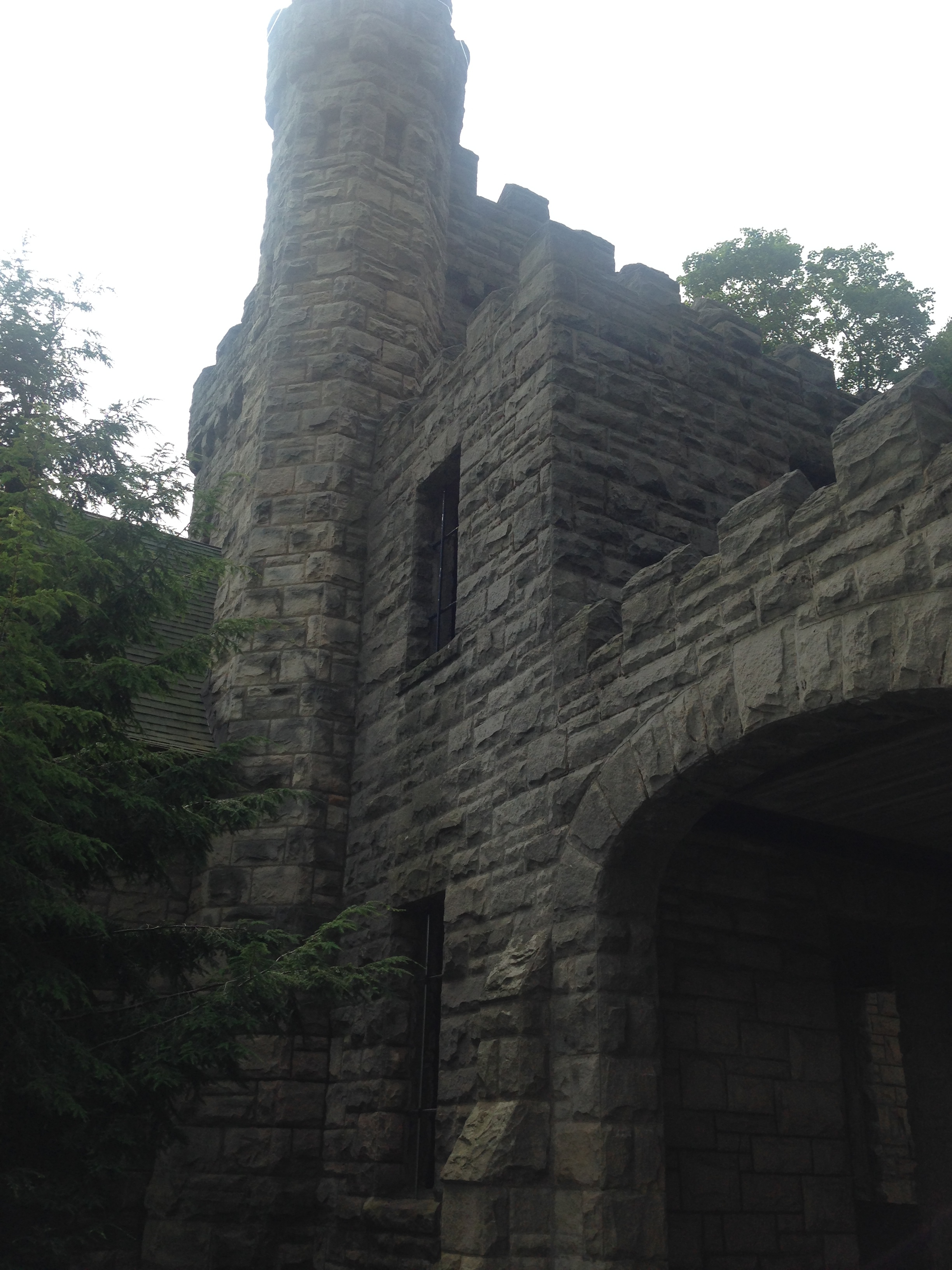
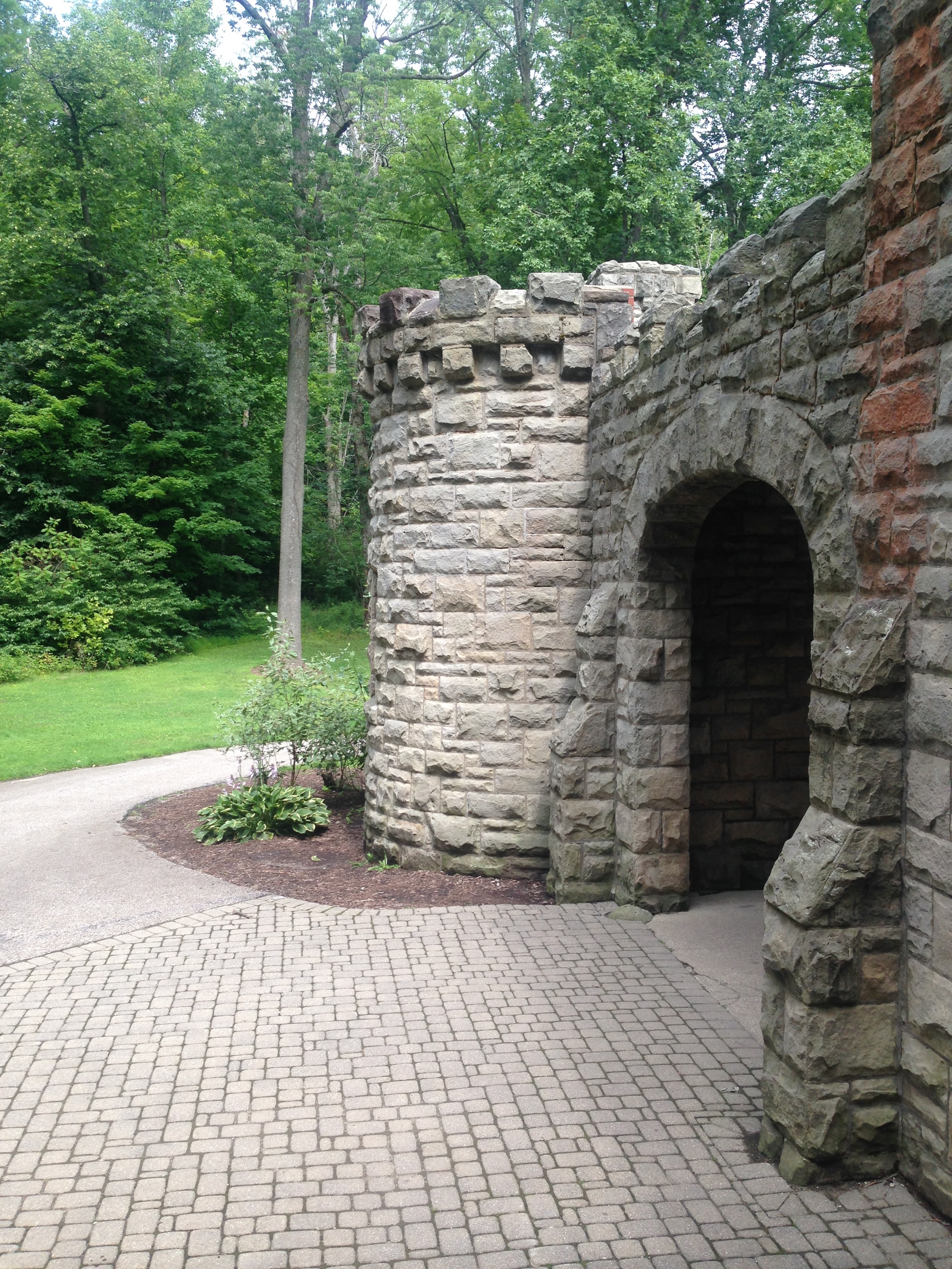
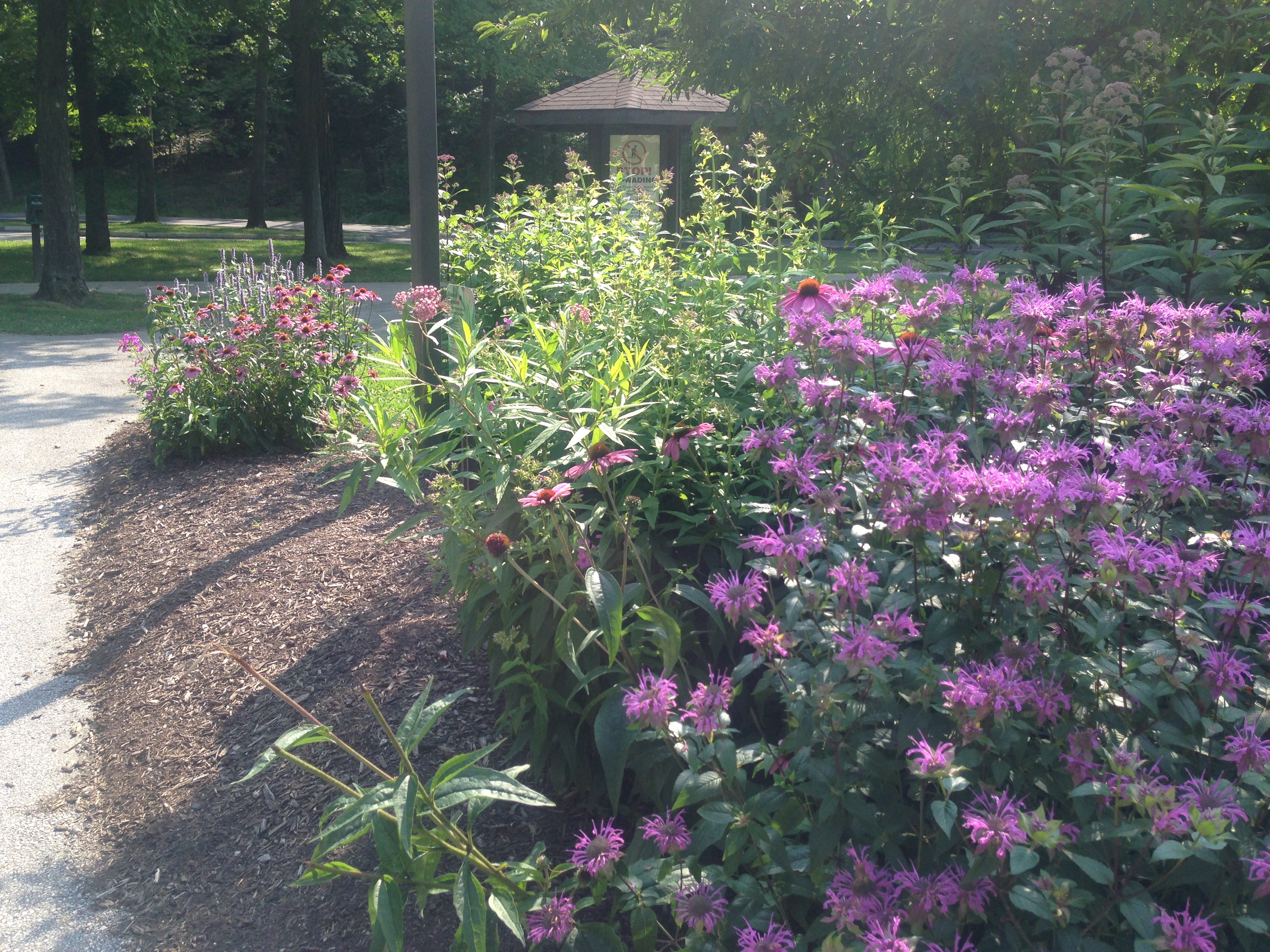
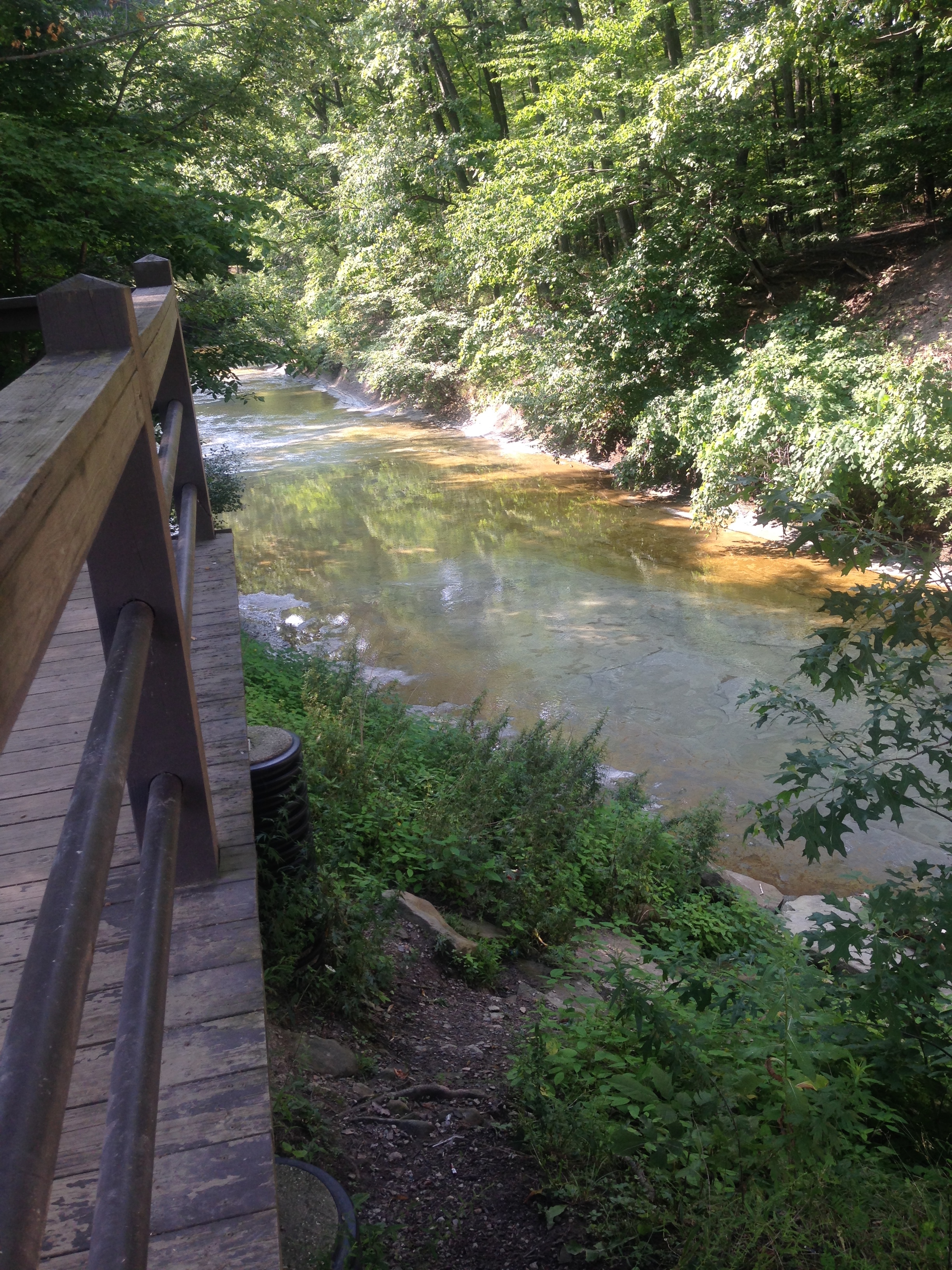
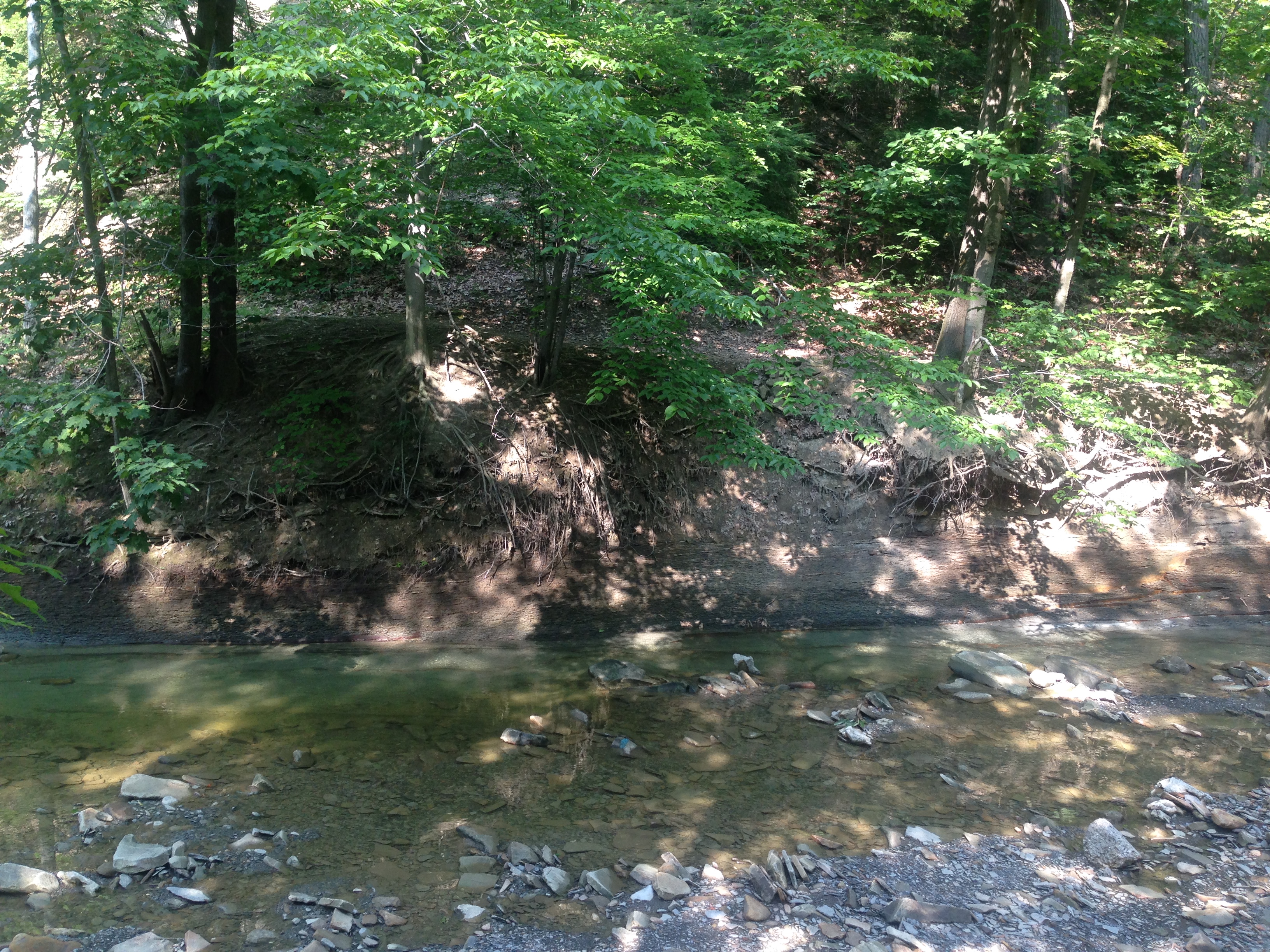
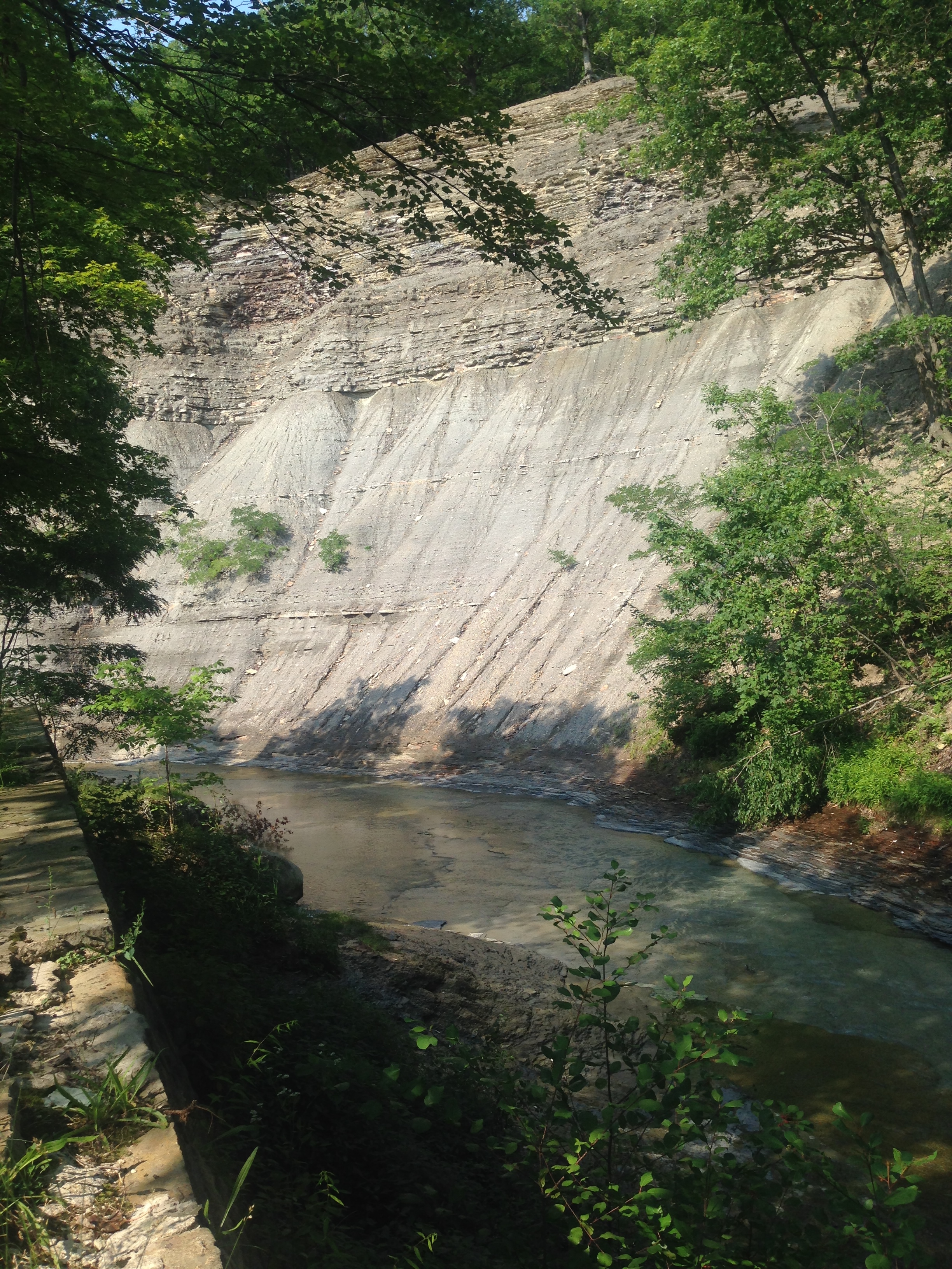
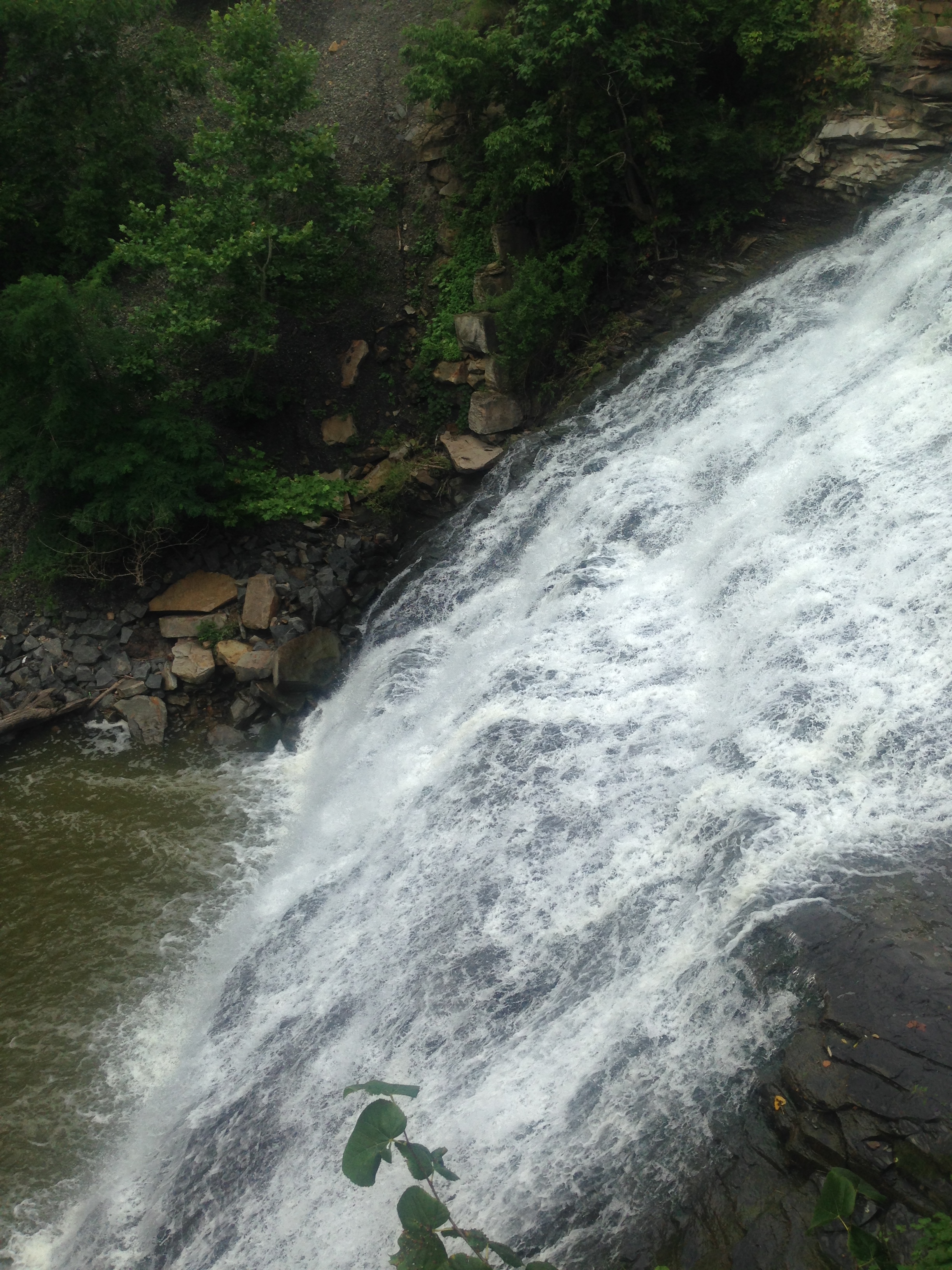
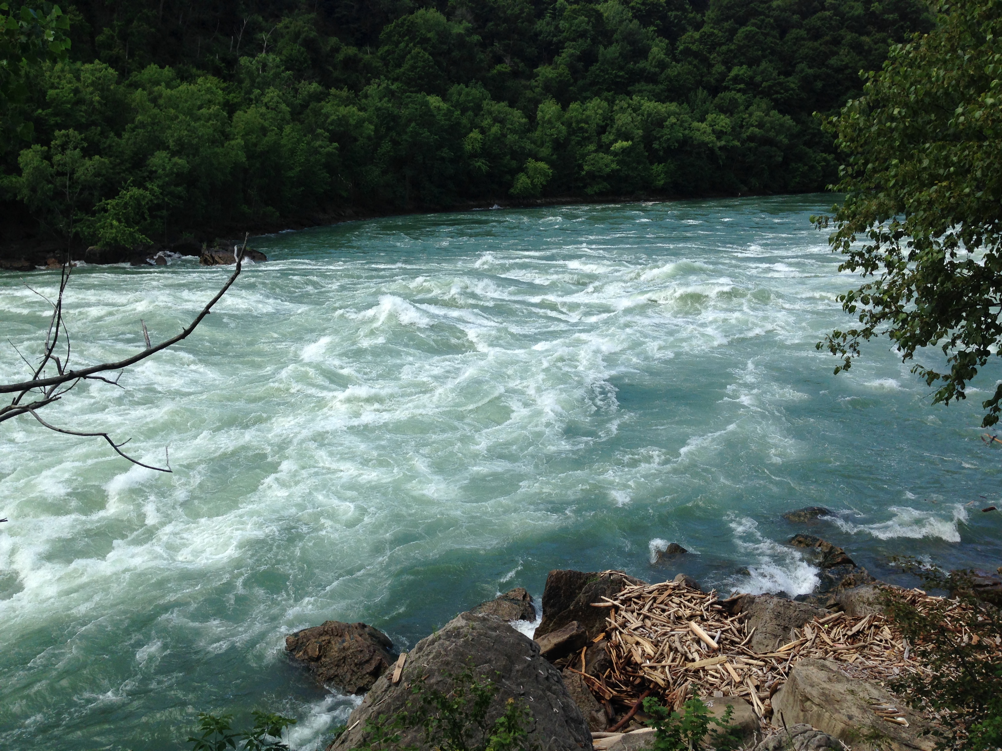
 

A Walk in the Park in Kentucky, Part 2

IMG_8923

Day 2 of our trip to Red River Gorge was a bit less hiking, but even more to see. When we turned into the park, on day 1, we went right. On day 2 we went left.

The first thing we found was a tunnel in the mountain. Nada Tunnel. IMG_8929

The tunnel used to be a railroad tunnel. It is now a 900 foot, single lane, passage through the mountain for cars.

We came out the other side, to this.

IMG_8936

Pretty much, through out this whole portion of the drive, the road looks like this. It is beautiful, though I wish we had been able to go a couple weeks later to watch those leaves change!

IMG_8961

One thing I found interesting here was that we crossed a lot of bridges. Everyone was very different.

IMG_8979

IMG_8984

IMG_9018IMG_9038

IMG_9081


That last bridge is called the Sky Bridge. It is a natural stone arch, that crosses over another path. The hike is easy, though you will want to be careful walking across the bridge, as you can see, there are no walls. And, the edges are worn down, so the very center is high and flat, and the close you get to the edge, the more sloped the rock becomes.

I found this little guy on our hike.

IMG_9073

I think this may be one of my best pictures!

On the route to the Sky Bridge hike, you will also find a sign that read’s “Devil’s Canyon Overlook” This is the view.

IMG_9042

Now, if you are anything like me, you will decide that standing by the fence is not good enough, and you will walk down a little side path, with no fence.  And the side path will lead you down here.

IMG_9043

Can you see, under that one pine tree, the bright green moss on the edge of the rock? If you are anything like me, you will decide you MUST sit there to get a picture. If you are married to anyone like my husband, you will keep inching over there while he shouts “Get back here!” I made it, and sat on that ledge, and enjoyed every second of my view, while my husband had a panic attack. (Ok, not really, but he was not happy with me and was very tempted to pick me up and move me back about 4 feet.) I took this picture though.

IMG_9050

Those are huge, fully grown trees under my feet.

We eventually had to make our way out of the park. Remember how I said it stormed on day one? This was how a good portion of the roads looked on day 2.

IMG_9055

Next, I’m working on the basic info post. Soon I will have posts from the Las Vegas trip we just got back from as well.

A Walk in the Park in Kentucky

IMG_8850

On a rare week off for my husband, we decided to go on a road trip to Kentucky for some hiking. The trip was off to a rough start. We wanted to go Wed-Thurs. But, on Sunday night we got word my uncle had passed away and we had no details about arrangements. Not wanting to miss his funeral, we bumped the trip up. It poured the whole drive. All 6 hours of it.

And, I had/have a pinched nerve in my back, so my leg is killing me. And, I’m all wobbly. We kept on anyway. I thought, how hard could this be? Thinking of Indiana’s vast corn fields, not of Kentucky’s mountain ranges.

We wanted to go to Red River Gorge, deep in Daniel Boone National Forest.  The website for the forest proudly boasts that this park “embraces some of the most rugged terrain west of the Appalachian Mountains.” It would seem I should have done some more research before we left.

We got to the park, it had actually stopped raining at that point. Which was nice, especially since the “Dangerous Cliffs” sign above was the first sign that greeted us.

We started down the Gray’s Arch trail. The sign said it was just a .25 mile hike. Not a problem. So, we began. Above Gray’s Arch the sign read “Rough Trail” we thought it was a warning about trail conditions. We were mistaken. The arch trail was another trail, off the main trail. The main trail was perfectly named, Rough Trail. It was 7 miles long. A fact we did not know until we finished hiking.

The scenery is stunning, the trees turning all different colors. The temperature was perfect, mid-sixties. There are rock formations almost everywhere you look. My kids enjoyed hunting for mushrooms. We know nothing about mushrooms though, so we just looked and took pictures.

IMG_8852IMG_8861

It was definitely a rough trail, but not undoable. All 4 of us did fine. We were about 1.5 miles in when we found the first of several rock shelters.

IMG_8865

It was around this point we also found Gray’s Arch.

IMG_8868

This photo was taken with a filter. I took several pictures, and this is the one that shows the arch best. I just wanted to get to the arch, so we continued. It didn’t seem that far away.

We continued down the trail, and found another rock shelter, and a cave. IMG_8887

This cave is at the top of three very long, very narrow, and very steep sets of stairs. We finally reached the bottom of the stairs, and the trail forked. It seemed if we went right it would head to the arch. Left would head down another trail. As we discussed it, the sky broke open and the rain began. We rushed to the left, to get under cover of yet another rock shelter.  We thought we’d wait it out for a bit. After 30 minutes, it was still pouring, and a bad storm was heading in. It was getting late, we certainly didn’t want to hike in the dark.  And we’d already walked a mile into our “short hike” to the arch. It was another .50 mile to the arch. So, we decided to turn around and go back. The hike back was all uphill.

We realized we had made the right choice when we got up the stairs and saw the path.

IMG_8899

And this was one of the best parts of the path. Wide, and no cliff immediately to one side. We vary carefully headed back to the car.

And that was the end of day one.

More to come soon, but I’m heading out of town again in the morning and I won’t be taking the computer. The next post will probably be next week.

History Comes Alive in Boston

I homeschool the kids, which I’ve mentioned before. Last week we learned about the Revolutionary War for history. Several months ago I took a trip to Boston, I knew I was standing in spots that held historic significance, but, I’m also 13 years out from my last history lesson. So, to read them this information, and know I had stood there just months before was so cool.

I love Boston. We stayed in a small town outside of Boston. I think it was about a 45 minute drive, or train ride into the city. Brad and I shared one car, so, he drove to work, while I took the train into the city. The first day, I decided to take the train, so he dropped me off at the station. I was concerned because this was a 730a train. Brad wouldn’t get off work until 5p, so if I got bored and wanted to come back to the hotel, I was out of luck. I’d have to bring the train home, then walk about 3 miles back to the room.

I didn’t need to worry, I had all day in Boston. I walked 11 miles. I was not bored.

IMG_5381

This is the train station. I got off the train and had no idea what I was doing. Luckily, I like to wander, so I walked a couple blocks, through the Financial District. Then, I came out into a very crowded area, where a red line is painted on the sidewalk, in front of a very old building. This red line is the Freedom Trail, it is 2.5 miles that will take you through 16 different historic sights. I felt like, every time I turned one way to see something, I missed 3 other interesting sights the other way.

IMG_5170

This is the Old State House, this is where the Declaration of Independence was read to the people of Boston for the first time. This was also the site where the Boston Massacre happened. John Adams declared the Revolution began here. This is Boston’s oldest public building, built in 1713. I used this all week to figure out where I was.

IMG_5175


This is the Old South Meeting House. You walk in, and walk where George Washington one stood. Where the colonists prepared for the Boston Tea Party. It was built in 1729, and Benjamin Franklin was baptized here. It was the largest building in all of colonial Boston. FIVE THOUSAND colonists crowded into this building to decide what to do about the ships full of tea in the harbor.

This is the interior, can you even imagine, 5,000 people in here?IMG_5408

Next we have Kings Chapel.

IMG_5225

I loved Kings Chapel, enough I went back every day. I even went to a church service there, and I’m not particularly religious. The church was founded in 1686. When it was time to build a new building, they weren’t able because there was no more land. So, they build this stone building around the old wooden one, in 1749, then carried the wooden one out, piece by piece. The pulpit from the original church remains in the building. Over 30,000 sermons have been preached from this spot. IMG_5238

It was very powerful to kneel at this alter where so many people have been. Where people were worshiping before the United States even existed!

IMG_5239

The history of the pews was very interesting, in my opinion.

IMG_5241

The pews are not in rows, they are in high-walled boxes. You could “buy” a pew, and pay a yearly rent. This allowed the family that owned it to make it fit their needs. The walls kept the area warmer in the winter. These are original pews, from the 1600s. The owners could decide how the seating was set up. This one held the most people. I saw many with a single row, and one with just 2 seats in it. While the upholstery has been redone, the padding is still the original horse-hair! The owners were able to decorate them as they wished until the twentieth century.

I did not go into the bell tower, though I wish I had. in 1772 a bell was shipped for the tower from London. It fractured in 1814 and Paul Revere offered to remake the bell. It was one of the largest bells ever cast in the Revere foundry and it was the last one made by Paul Revere.

That is all for today, if I include everything I’ll be writing for days!

Squire’s Castle, History and a Ghost Story

IMG_7291

In northern Ohio, in the North Chagrin Reservation, part of Cleveland’s Metro Parks District, is a castle. Or what looks like a castle. In reality, it is the shell of what was to be the caretaker’s house for a mansion that was never built.

Feargus B. Squire was one of the founders of the Standard Oil company, so he was very wealthy. (At one point, after the castle was built, Squire served a term as mayor of a nearby town.) He owned a home in Cleveland in the late 1800s, but wanted to live in the country. (Which is funny when you think about how it, how much of a city was Cleveland in 1890, especially compared to now?)  Squire bought himself 525 acres of land in a forest, and planned to build a giant estate, intending to live at this estate with his wife and daughter. The home was built from stone, quarried from the property itself.

Before construction on the mansion began, the caretaker’s home was built. It was 2 stories, though there is some speculation there was a basement as well, though you can’t find it now. Squire was going to live there, while the mansion was being built.

The home was supposedly quite beautiful designed after castle is Europe, with Tiffany glass in the windows, carved moldings, and European finishings.

IMG_7293

Mrs Squire, however, hated the country. She had been raised in the city and that was where she wanted to stay.

Legend says that Rebecca Squire would be unable to sleep at night, and would wander the home, holding her lantern. One night, she was startled by one of her husband’s hunting trophies hanging on the wall, she tripped and fell down the stairs to the basement, breaking her neck in the fall that killed her.

Mr Squire was so distraught, he abandoned the property and moved away. But, you can sometimes see a woman in the upstairs window, or a red glow, as is coming from a lantern, moving through the house at night.

The real story is not as interesting, or as tragic.  Mrs. Squire did hate the country, and Mr Squire abandoned the dream of a country estate.  Squire sold the property in 1922, and Cleveland Parks got the property in 1925.

IMG_7297


This is the fireplace that stands in what was once the library.

IMG_7298

When you stand in the library and look out, this is the view of the rest of the castle. There are 2 large rooms you can’t see from the photo, and once there was a second floor, but, the castle had been left to the elements and the 2nd floor deteriorated to the point the parks department removed everything except the shell; there is no roof either. If you believe the legend, Squire had the basement filled in after his wife died. But, others say there never was a basement.

IMG_7301 IMG_7302

Can you see it? This castle as it once stood? Perhaps the window was stained glass, blocking the beautiful view. Or perhaps this window by the fireplace was one you could sit by on a winter day, watching the snow pile up around the home. Maybe the floor had furs as coverings, since Squire loved to hunt and show off his skill.

The park is actually open until 11pm, and as the sun goes down, I’m sure you can also see why this abandoned castle has also lent itself to a ghost story.

More Information

Squire’s Castle, Cleveland Metroparks

Squire’s Castle, Travel Cleveland

Squire’s Castle, Wikipedia

Ghosts of the Prairie

Exploring the Cleveland Area, Part 2

IMG_7413

Trying to fit a lot into 2 days, made a busy day 2.

I went to see the submarine the U.S.S. Cod. It is a World War II era submarine. It was actually hard to find. I know you are thinking “How can this giant thing be hard to find”. Well, water doesn’t have much of an address. So, if you want to visit, make your way over to the Rock and Roll Hall of Fame, and if you come in off 9th, the Hall of Fame will be in front of you, turn right. You’ll head towards the Burke Lakefront Airport. It will be on your left, there is a small, gravel parking lot. Parking is free. You will pay your $10 admission at a small booth that looks like the kind you’d find in a carnival to buy tickets to the tilt-a-whirl. Across that sidewalk is the “gift shop” which is a bulletin board with examples of things you can buy. I don’t know where they keep those things though.

You walk up a ramp, and then you are on the submarine. To get into the sub, you go down a hole, with a ladder on the side. So,needless to say, it is not handicap accessible.
IMG_7428

The sub is interesting, there are a lot of signs to tell you about the areas in the sub. There are 4 or 5 audio “tours”. You push the button, and hear about the area you are in. You can sit at a table or lay in a bunk.
IMG_7471

Or, you can pretend to enjoy a cup of coffee.

I really found the kitchen the most interesting part. Just to think about having to cook for that many people in such a tiny space.
IMG_7463

I began to write you out a history of the sub, but it’s really interesting and deserves its own post. So, upcoming is a U.S.S. Cod history post.

After the sub, I decided to go to the Cleveland Museum of Contemporary Art.

IMG_7513

So, I will admit it, but it’s embarrassing. I walked past this museum several times, trying to find it. The GPS was clear, the building LOOKED like a contemporary art museum. But, the only sign is the one on the door. That says “Mocha a la Carte” the hours talk about lunch time. And, there is a small script on the door that says something like “healthy, nourishing” So, I saw this and thought “what a strange restaurant.” and kept walking. Like, 10 minutes later I decided to go in and ask, and wound up in the gift shop.

It was a bit disappointing in my opinion. There were only 2 exhibits. One was by a nun. The Art of Corita Kent. That will be on display until August 31, 2014. Her art is very pop art inspired.

IMG_7502 IMG_7503 IMG_7504

The next exhibit was Staging Silence by Hans Op De Beeck. There were only 3 photos, but there was a room where a video was shown, and he slowly moved pieces to create beautiful landscapes. This is also on display until the end of August, 2014.

The admission is $8.

Finally, I ended up at Euclid Creek Reservation. I had read there was once an amusement park there, and some parts remained, such as the entrance, and the beach walkway. I drove through the whole park and found several playgrounds and picnic shelters. Also, there were many places to pull of and view the creek. IMG_7525This pretty flowered area is a monarch stop station, designed to draw the butterflies in on their migration.

IMG_7530

There are a lot of beautiful views of the creek, and the park is just as nice as the one previously mentioned.

IMG_7545IMG_7537

There are signs warning you to stay out of the creek. The creek is only a few inches deep, but many people have drown in it because it is really bad about flash flooding because it is surrounded by all the rock, and the creek bed is rock, so when there is a heavy rain, the water has no place to go, except to flood the creek.

I never found the old amusement park markers, and left very disappointed. Once I got home and could do some more research, and not just look on my phone, I found that this particular park has 2 sections. That are oddly far away from each other. I was in the wrong section. Now I know for next time.

Information

U.S.S. Cod– General information about the submarine

Cleveland Museum of Contemporary Art 

Euclid Creek Reservation

IMG_7515

I just thought this was cute, it is the bike rack outside Starbucks.

Summer Time Exploring in Cleveland

This trip was a perfect example of my accidental tourism. I was in Cleveland because my husband was working there. I had no plans and no agenda, so, armed with a full tank of gas, and a charged GPS I set out to see what I could find.

Let me say a couple things about Cleveland. Their Metropark system is AWESOME. Their roads are crap. It is almost like they built a city, and as the number of people outgrew their infrastructure, they just added more. No real rhyme or reason. You end up with two traffic lights, that aren’t timed to each other, within a block. I was trying to get to my hotel, and I got off the interstate, where to get onto my road, I had to make an immediate U-turn, but there was a light halfway through the u-turn. It was weird. I can’t even explain it well. And, because they just randomly add roads, they seem to have run out of names, so Broadway splits and one direction is Broadway and one is Broadway Ave. Another street is Miles Park, the next road is Miles Park Ave. So, if you are not familiar with the area, you will make a lot of wrong turns. A lot. Like, oh, say, 87 in two days.

Day 1, I used Scout Maps, an app on my phone, to look for interesting things to do around there. I found a castle. I tried to find the castle on my regular GPS and I couldn’t. So, I decided to use their GPS. Which delivered me to a very nice neighborhood where a family of 4 was doing landscaping around their ranch home. I suppose on the plus side, instead of an arrow to represent me, it’s a picture of a ’67 Mustang. Which is kind of cool. But not worth getting lost over.

Eventually, I find out that Squire’s Castle is in the North Chagrin Reservation. This is part of Cleveland Metroparks. I was, admittedly, a bit disappointed to find that the castle is right by a parking lot. I had visions of Disney princesses, roaming the dark woods, only to see a dilapidated building peaking through the brush. That was not the case here.

The castle will be it’s own post, because the story is interesting. But, here it is. IMG_7291

I began to go into the woods, but, didn’t go very far. There was a waterfall I was intent on finding as well. The trails are clearly trails, but, wear good shoes. Because, the trails are muddy and in one spot a tree had fallen across, so you will have to climb over. So, while the trails are obvious, they have also been left to nature a bit.

IMG_7317

I continued on, to look for the waterfall. Again, I will praise the parks department. The signs are clear.
IMG_7367
Each trail is color coded, and represented by an animal, so, the waterfall trail is a blue dragonfly.
IMG_7364

The map told of cascading waterfalls and a scenic overlook at Buttermilk Falls. But, I think they perhaps over promised and under-delivered.
IMG_7329

The dragonfly path though was well worth taking, it was only half a mile long but had very pretty views of the creek that lead to Buttermilk Falls.

I then decided to head for Mill Creek Falls, which is it’s own “park”. There is a history center as well. This drive was where I got lost, over and over again. I drove and drove. I finally thought I was getting close, but, I felt I was in a slightly bad area, and a bit nervous. So, my GPS took me down a road that was a dead end. Down a hill, down to some woods. I find a few driveways, but they all say “private, no trespassing” and only seem to lead deeper into the woods. I see the history center. It is a house, and it is closed, in the middle of the afternoon. There is a small parking lot that belongs to some apartment buildings, but I pull in anyway. I can HEAR something, but, surely this can’t be the waterfall. I mean, that tiny trickle had a hundred signs directing you. This has NOTHING. So, I begin to head toward the noise, and begin to realize how much this sounds like the beginning of a horror movie. I continue on anyway. There is a path in the trees that I take, when I find this sign
IMG_7398

I continue toward the noise, and all of a sudden a really nice staircase is in front of me. Just call me Alice (In Wonderland), because it said “take me” so I did. I walked down the stairs. To find this
IMG_7406

A 48 foot tall waterfall. There is no one around, at all. There are benches to sit on and enjoy the spot though, so I did.

and that is the end of day 1.

Information
North Chagrin Reservation– This park houses Squire’s Castle. It also has a nature center, and a gold course. There are trails for horseback riding and even a place to park and truck with a trailer to unload your horses. They allow fishing. And, you can download a PDF of the trails before you go, from the website.

Squire’s Castle-This is a short little blurb about the castle.

Cleveland Metroparks– This is all the information for all the parks. There is no way I could make it to all of them on my limited time!

Mill Creek Falls– The information on this site is about as sparse as the how to get there info! It is located near Garfield park Reservation.

The First Post!

Let me start off with a bit about me.

I’m Katie. I travel a lot. But, I don’t really “vacation”.  My husband, Brad, has a job that affords us a lot of travel perks, because he is away from home Monday-Friday. Sometimes we, meaning the kids and I, get to go with Brad to work. Sometimes that is awesome, and we go to the beach. Sometimes, it isn’t so awesome and we go to the middle of nowhere, Missouri. Sometimes it’s just me, sometimes it’s all of us. And, we always find ways to stay busy.

Home base is northeastern Indiana. The family consists of Brad and I. Both about 30, and our sons, who are 10 and 8. We home school the kids, and so we end up being able to go to work with Brad a lot.

I realized as I went through the photos, mementos, scrapbooks, and journal entries, I’m gaining a lot of information about HOW to travel, and how to enjoy it no matter where you are. I thought I would share the knowledge I gain, along with information about specific places, and I can share photos without annoying my Facebook friends anymore. 😉

Join me on my travels. Enjoy.

IMG_7073