Tag Archives: trails

A Walk in the Park in Kentucky

IMG_8850

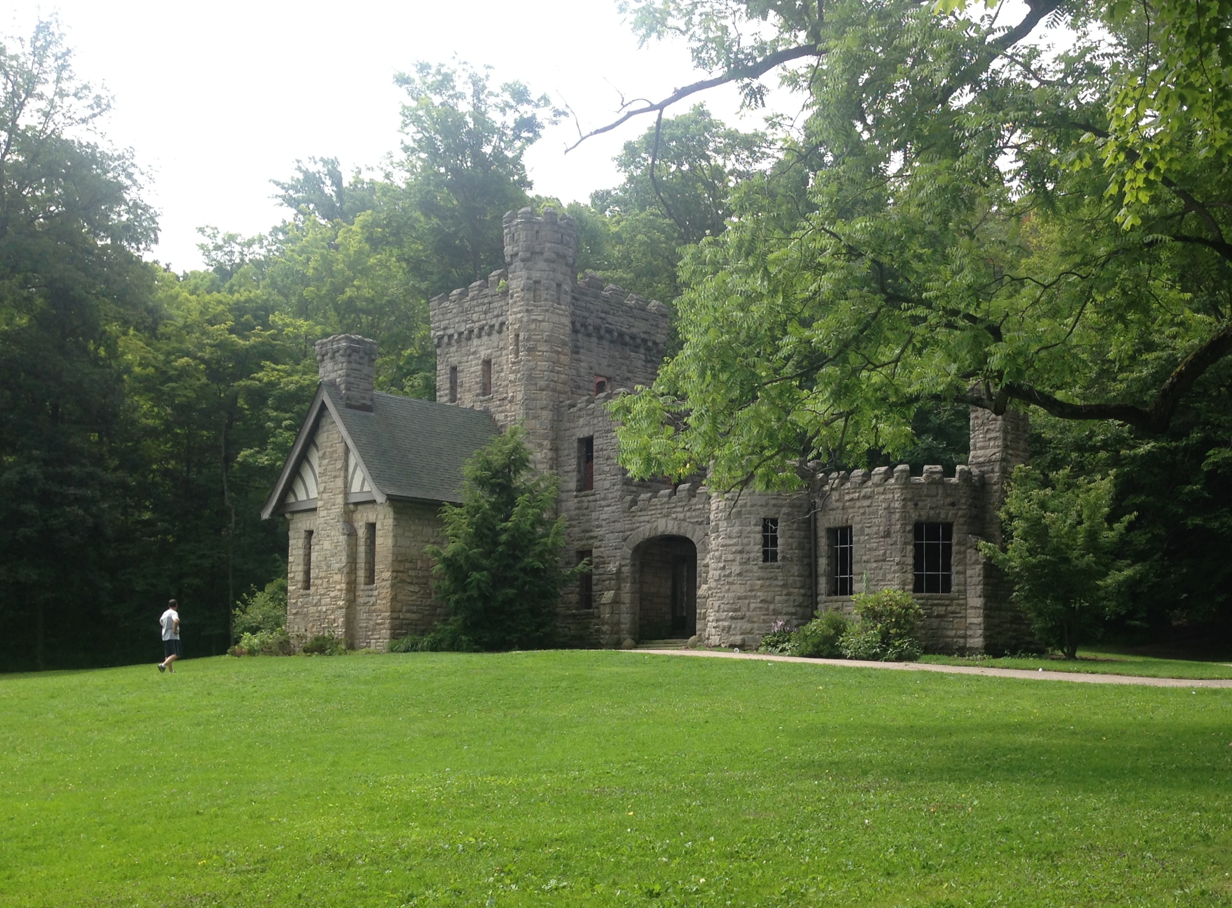
On a rare week off for my husband, we decided to go on a road trip to Kentucky for some hiking. The trip was off to a rough start. We wanted to go Wed-Thurs. But, on Sunday night we got word my uncle had passed away and we had no details about arrangements. Not wanting to miss his funeral, we bumped the trip up. It poured the whole drive. All 6 hours of it.

And, I had/have a pinched nerve in my back, so my leg is killing me. And, I’m all wobbly. We kept on anyway. I thought, how hard could this be? Thinking of Indiana’s vast corn fields, not of Kentucky’s mountain ranges.

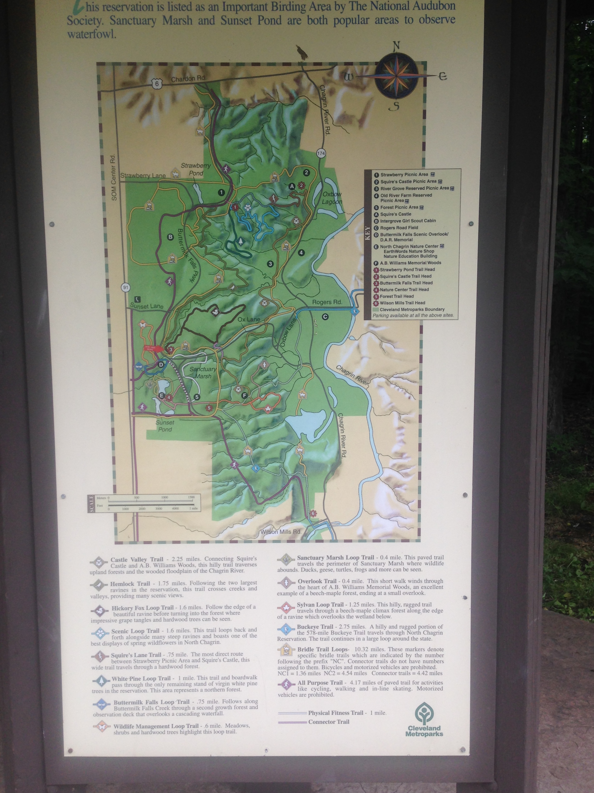
We wanted to go to Red River Gorge, deep in Daniel Boone National Forest.  The website for the forest proudly boasts that this park “embraces some of the most rugged terrain west of the Appalachian Mountains.” It would seem I should have done some more research before we left.

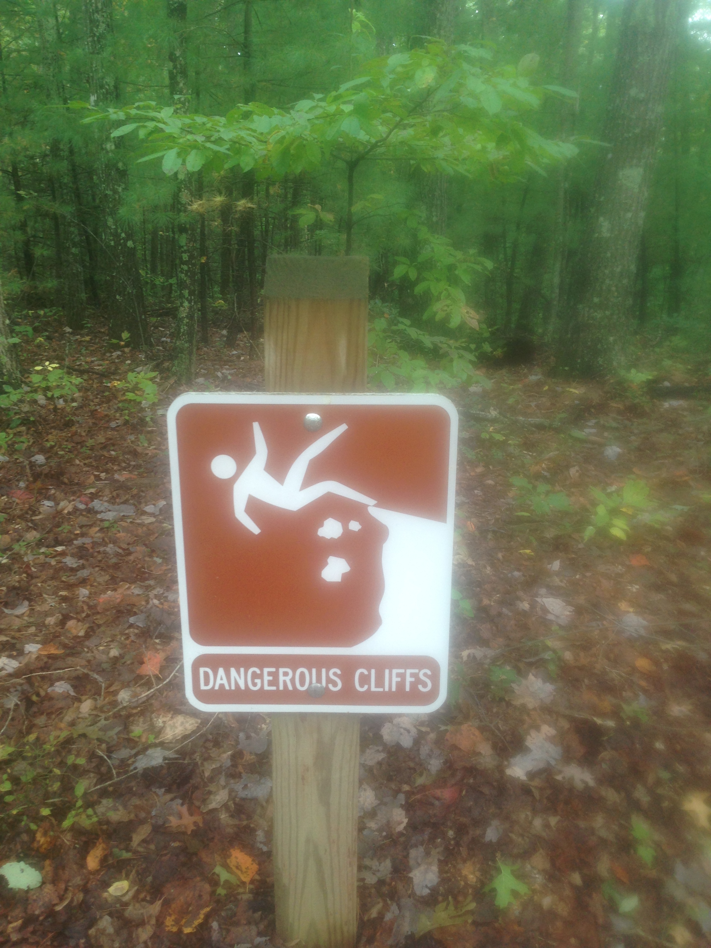
We got to the park, it had actually stopped raining at that point. Which was nice, especially since the “Dangerous Cliffs” sign above was the first sign that greeted us.

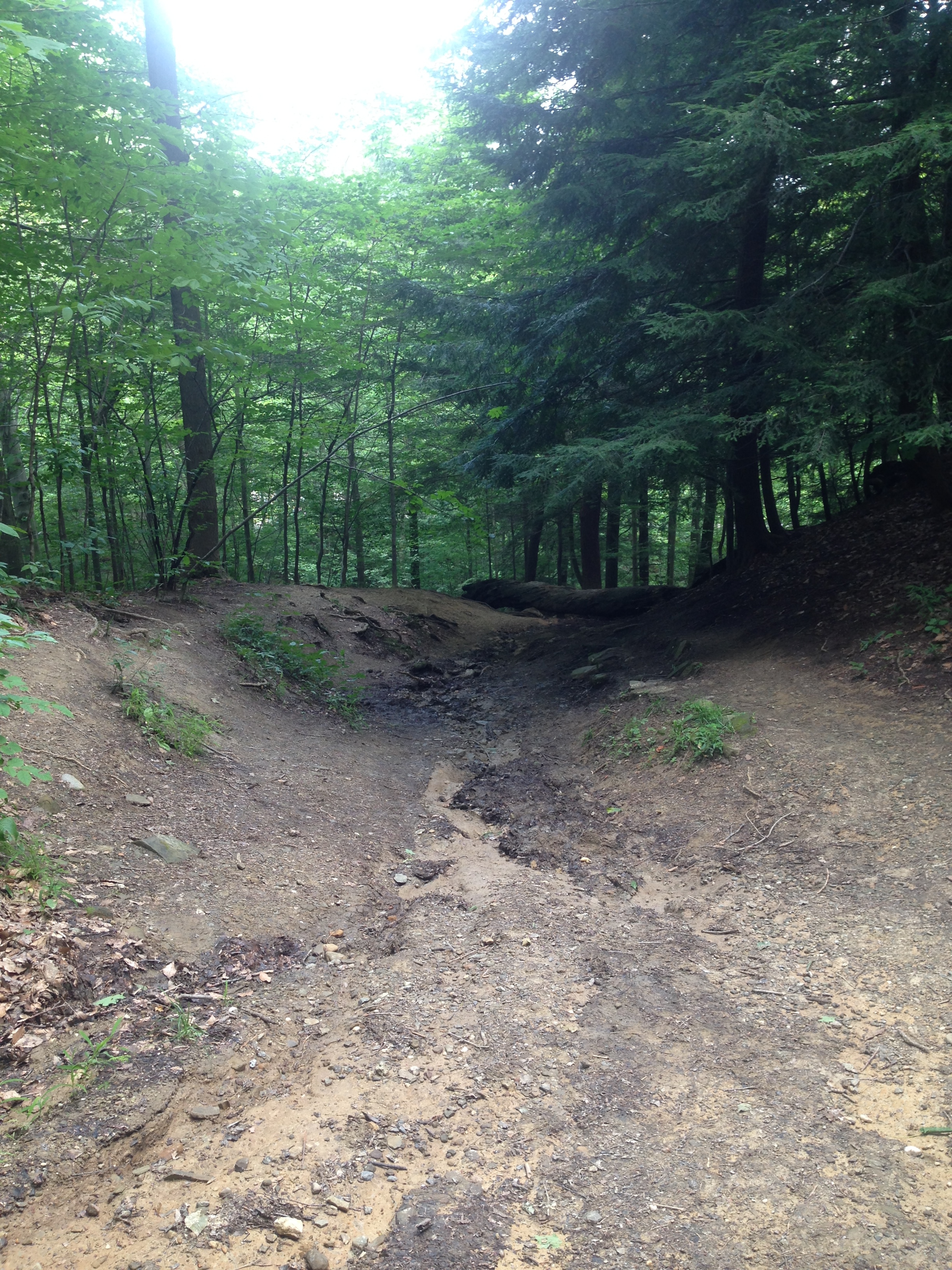
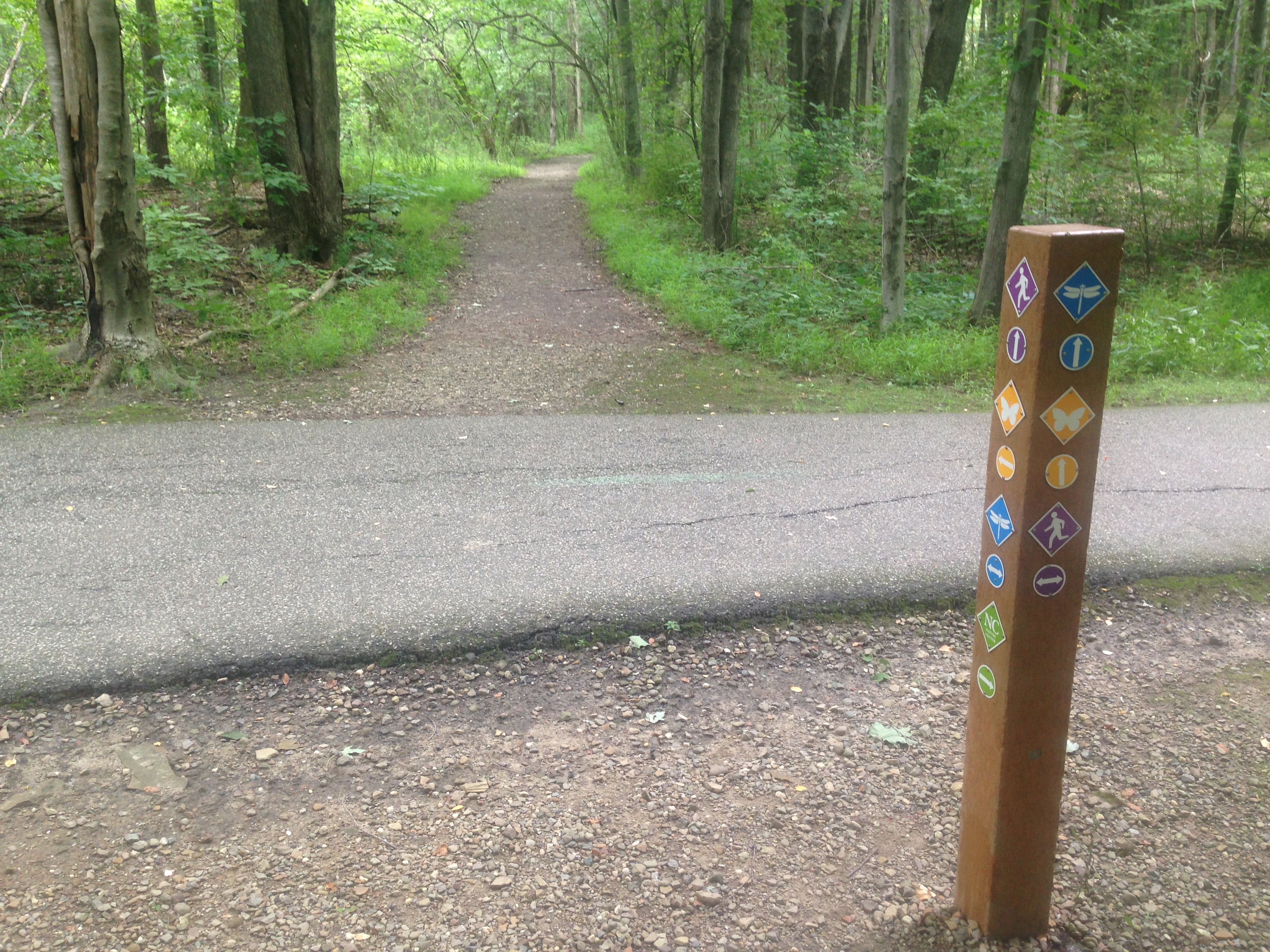
We started down the Gray’s Arch trail. The sign said it was just a .25 mile hike. Not a problem. So, we began. Above Gray’s Arch the sign read “Rough Trail” we thought it was a warning about trail conditions. We were mistaken. The arch trail was another trail, off the main trail. The main trail was perfectly named, Rough Trail. It was 7 miles long. A fact we did not know until we finished hiking.

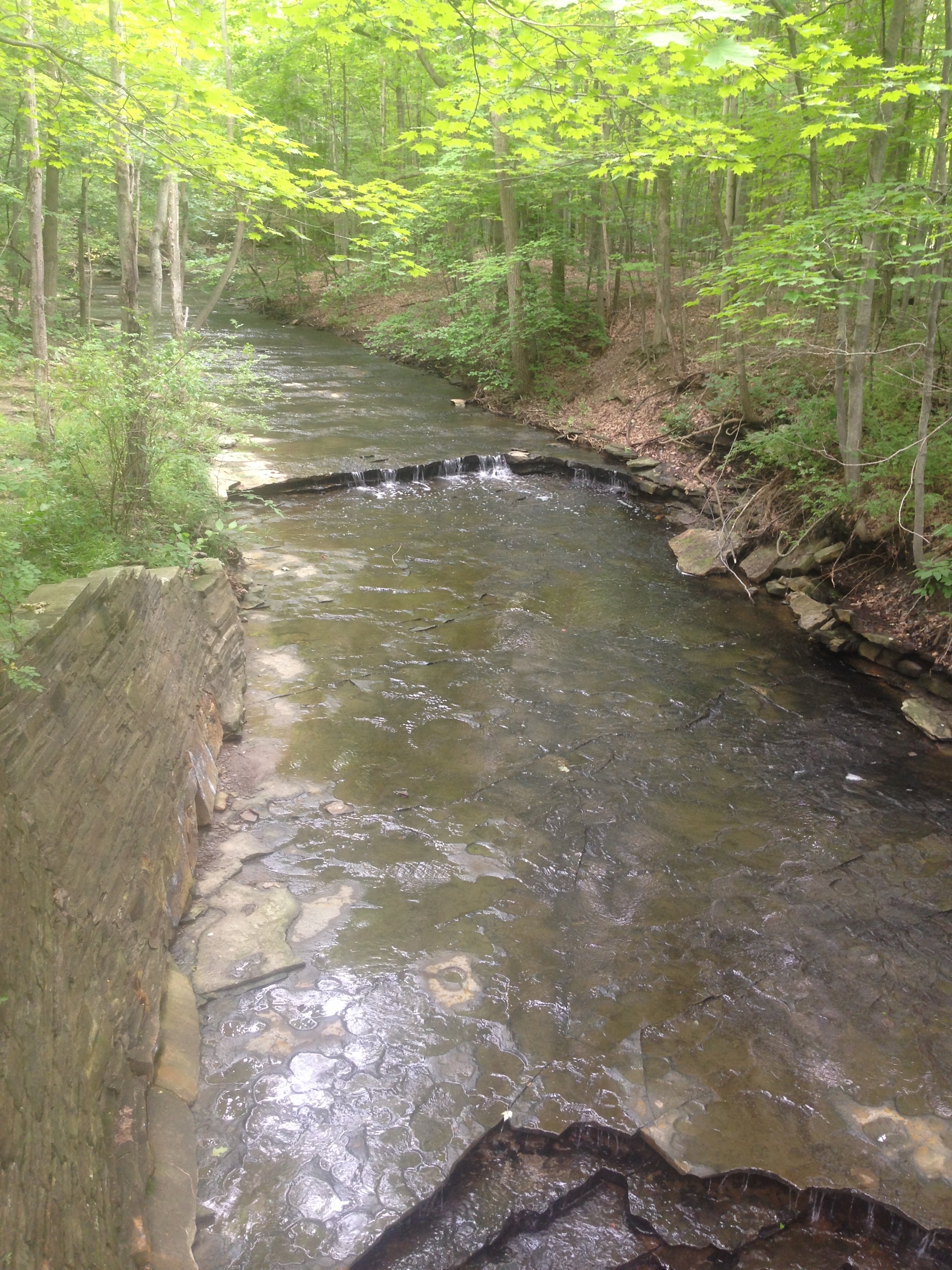
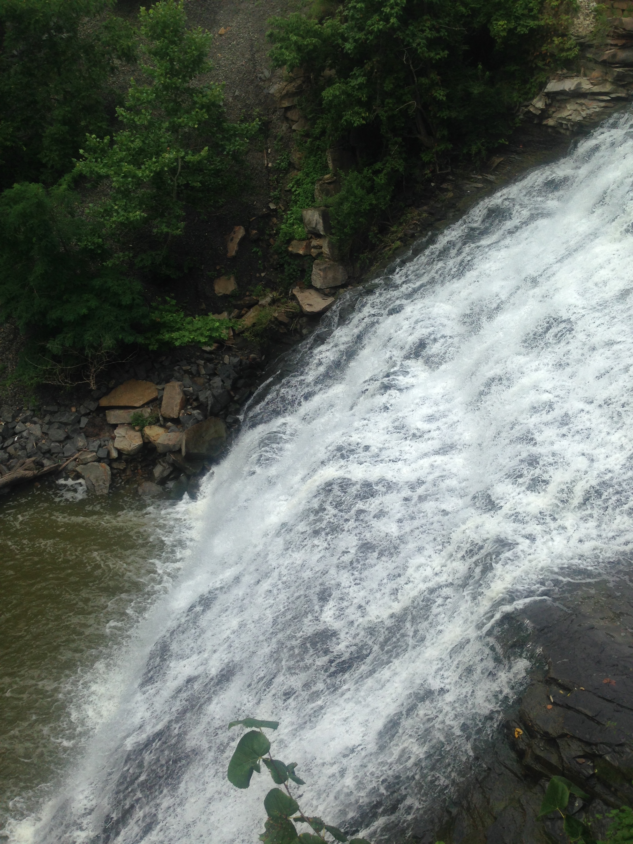
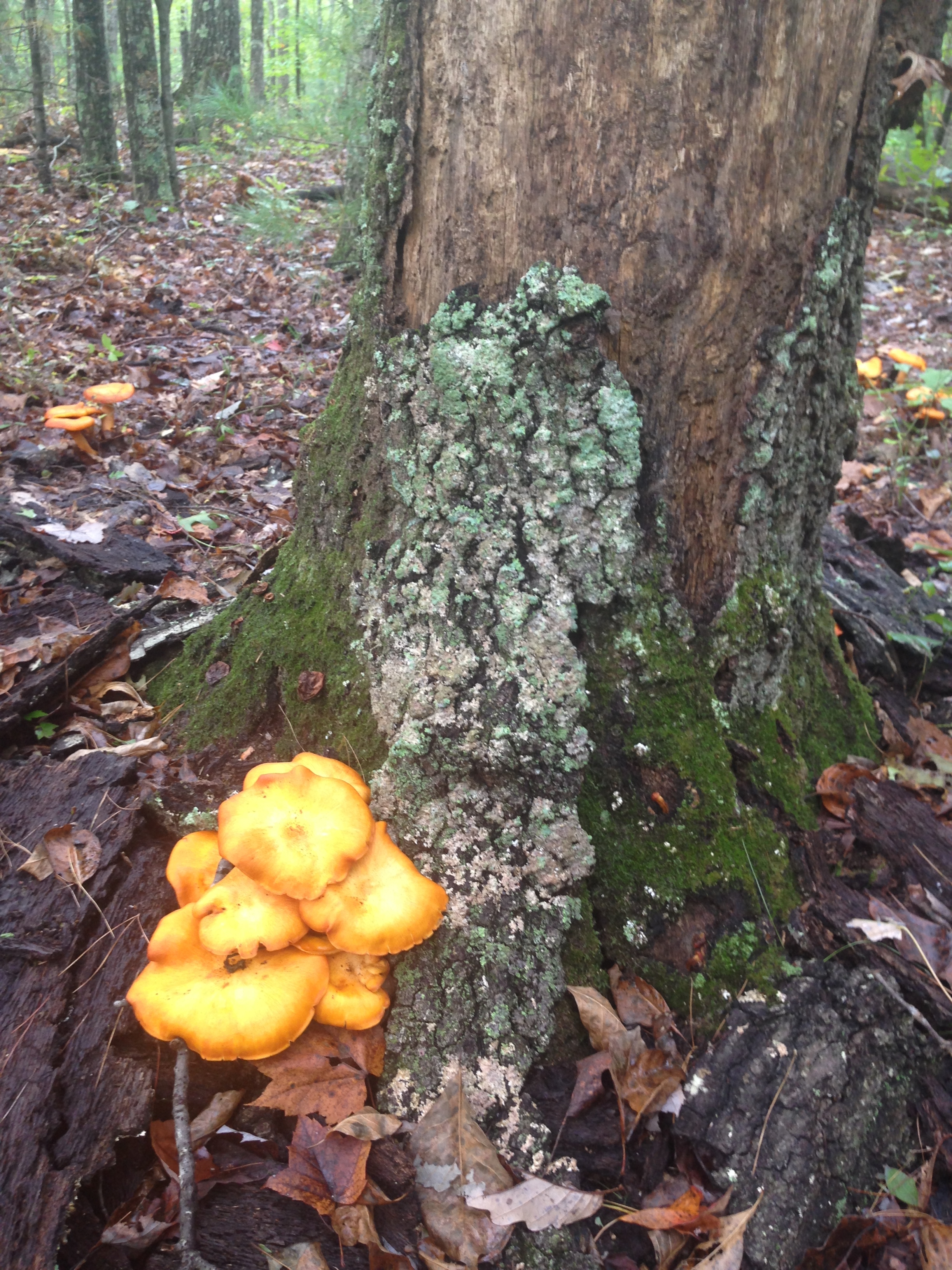
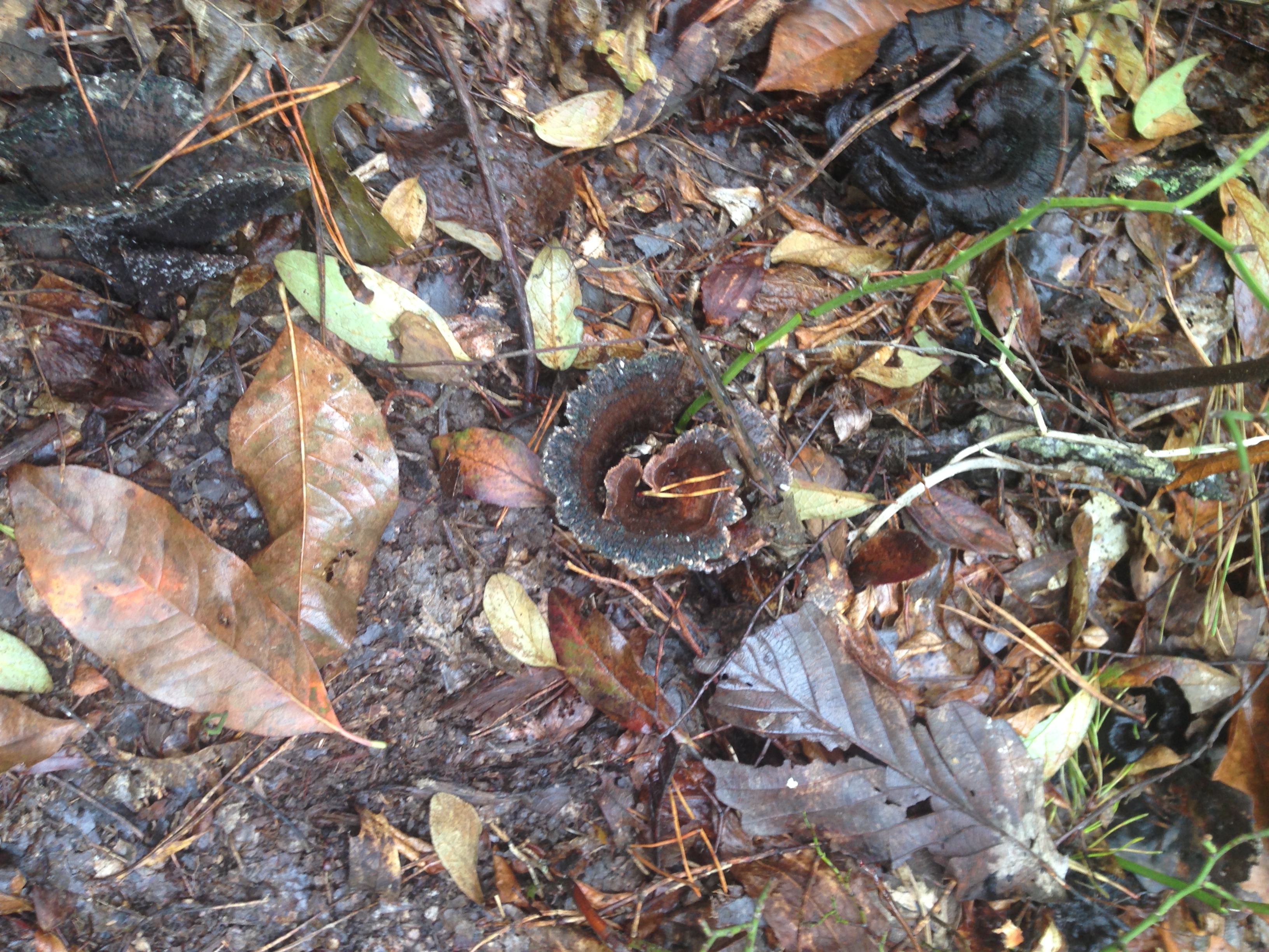
The scenery is stunning, the trees turning all different colors. The temperature was perfect, mid-sixties. There are rock formations almost everywhere you look. My kids enjoyed hunting for mushrooms. We know nothing about mushrooms though, so we just looked and took pictures.

IMG_8852IMG_8861

It was definitely a rough trail, but not undoable. All 4 of us did fine. We were about 1.5 miles in when we found the first of several rock shelters.

IMG_8865

It was around this point we also found Gray’s Arch.

IMG_8868

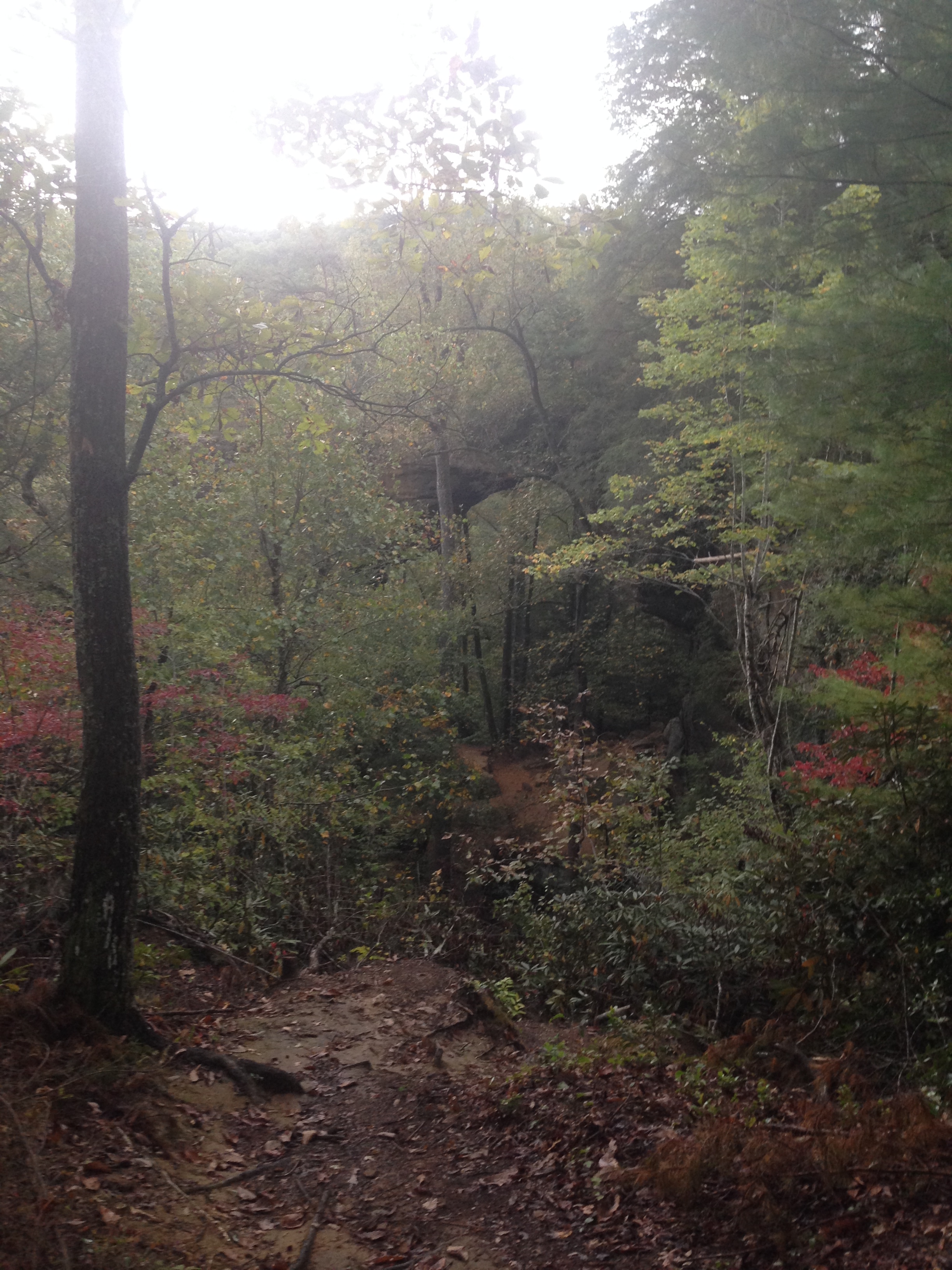
This photo was taken with a filter. I took several pictures, and this is the one that shows the arch best. I just wanted to get to the arch, so we continued. It didn’t seem that far away.

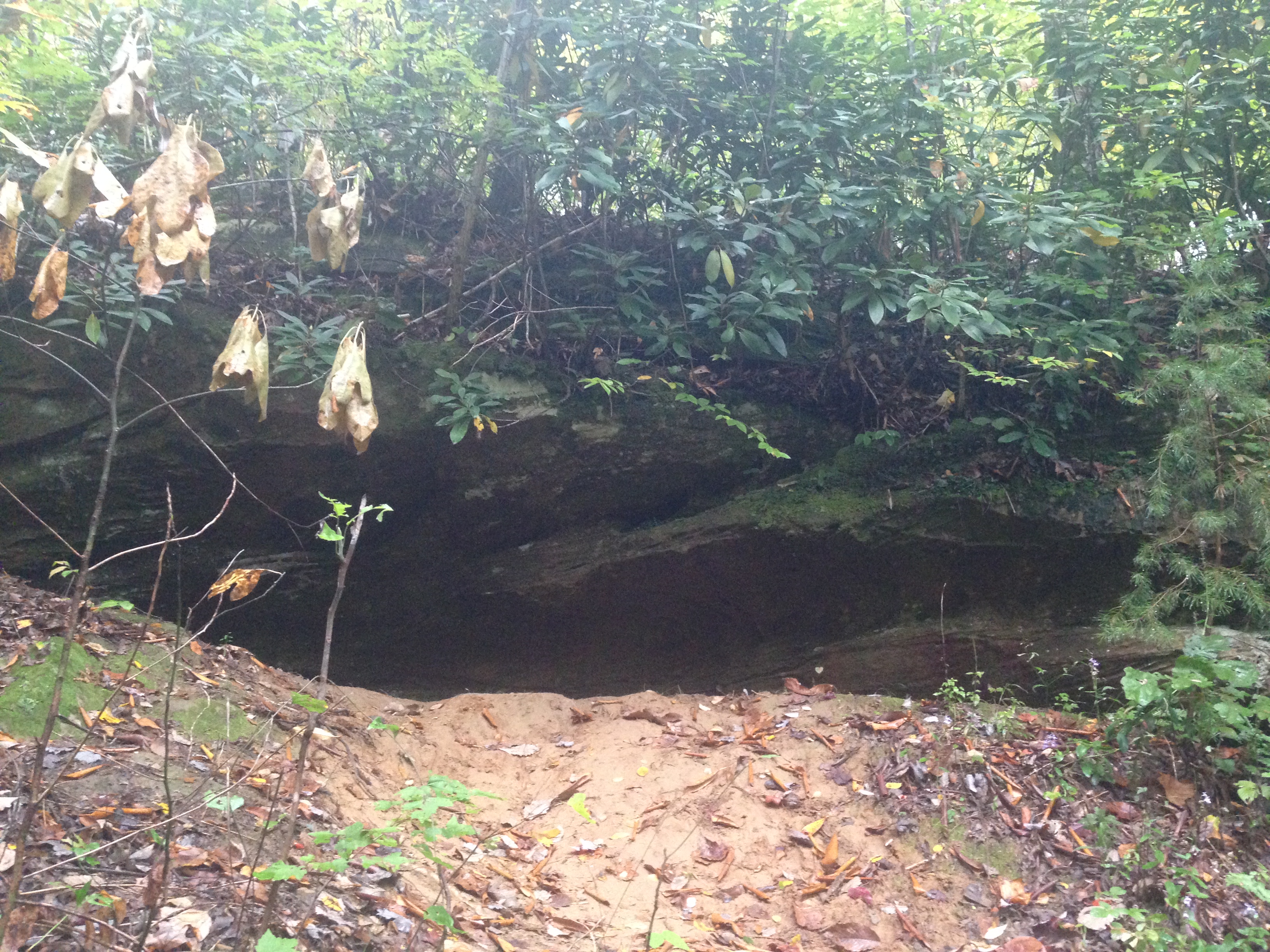
We continued down the trail, and found another rock shelter, and a cave. IMG_8887

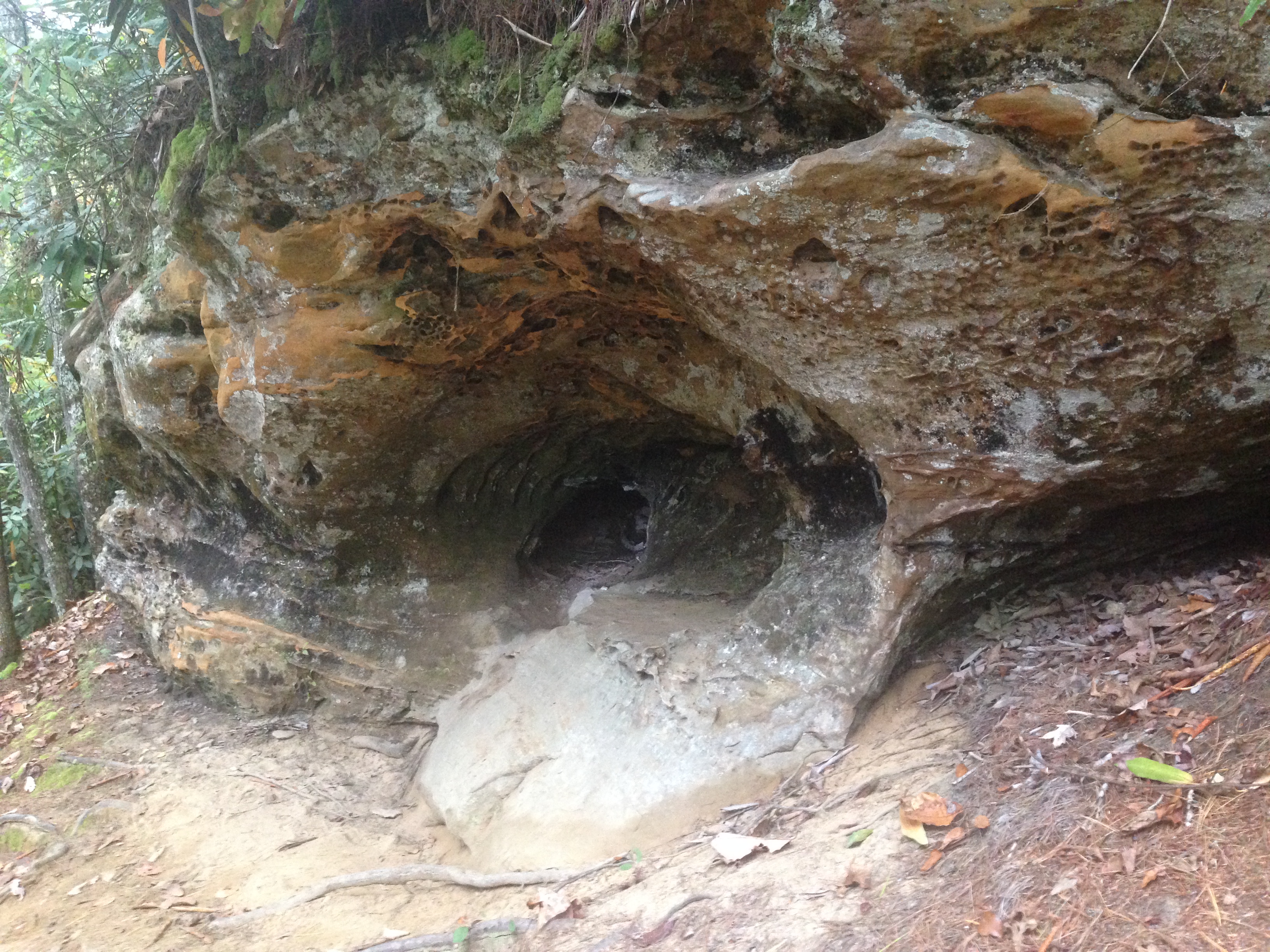
This cave is at the top of three very long, very narrow, and very steep sets of stairs. We finally reached the bottom of the stairs, and the trail forked. It seemed if we went right it would head to the arch. Left would head down another trail. As we discussed it, the sky broke open and the rain began. We rushed to the left, to get under cover of yet another rock shelter.  We thought we’d wait it out for a bit. After 30 minutes, it was still pouring, and a bad storm was heading in. It was getting late, we certainly didn’t want to hike in the dark.  And we’d already walked a mile into our “short hike” to the arch. It was another .50 mile to the arch. So, we decided to turn around and go back. The hike back was all uphill.

We realized we had made the right choice when we got up the stairs and saw the path.

IMG_8899

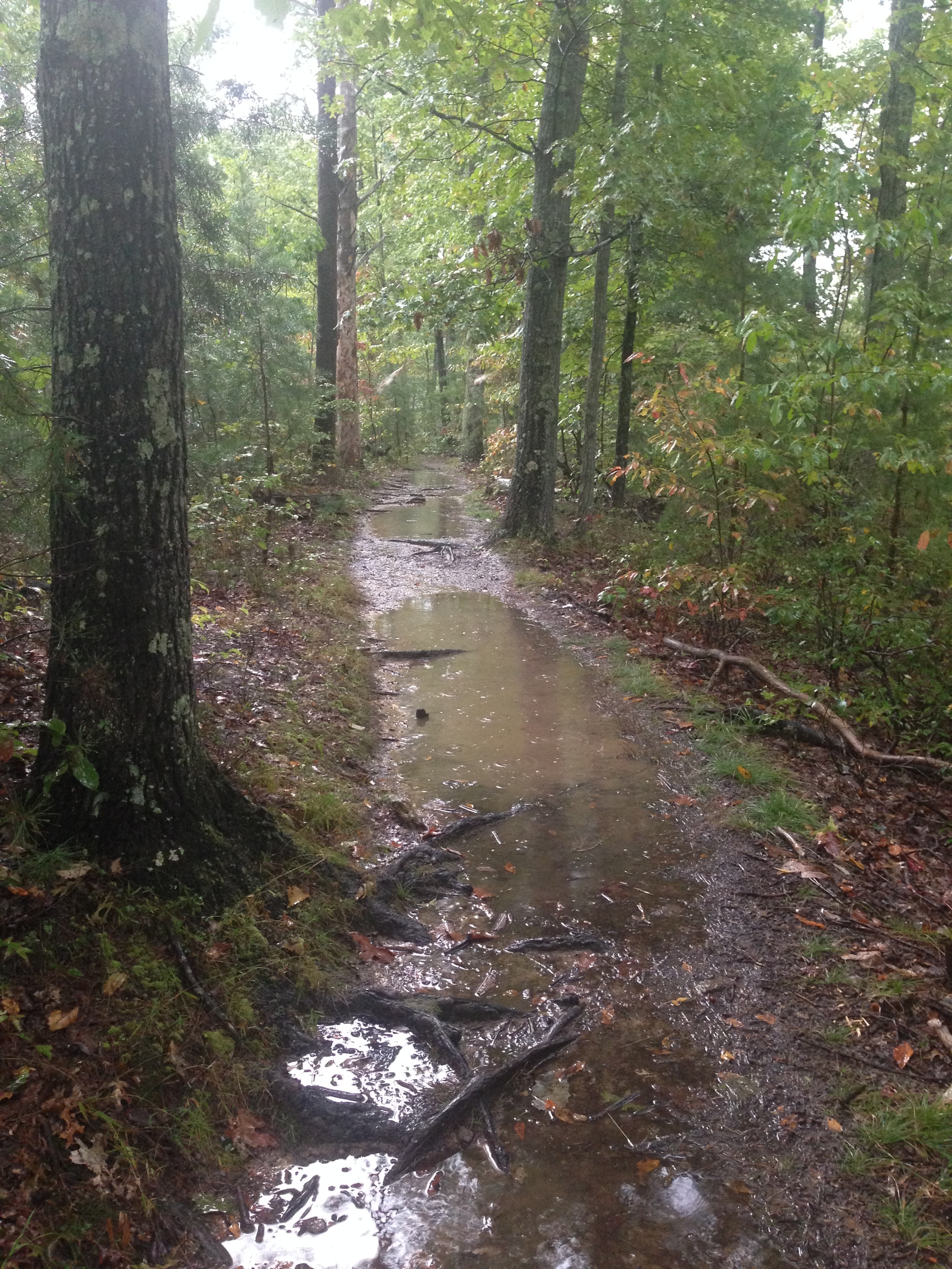
And this was one of the best parts of the path. Wide, and no cliff immediately to one side. We vary carefully headed back to the car.

And that was the end of day one.

More to come soon, but I’m heading out of town again in the morning and I won’t be taking the computer. The next post will probably be next week.

Summer Time Exploring in Cleveland

This trip was a perfect example of my accidental tourism. I was in Cleveland because my husband was working there. I had no plans and no agenda, so, armed with a full tank of gas, and a charged GPS I set out to see what I could find.

Let me say a couple things about Cleveland. Their Metropark system is AWESOME. Their roads are crap. It is almost like they built a city, and as the number of people outgrew their infrastructure, they just added more. No real rhyme or reason. You end up with two traffic lights, that aren’t timed to each other, within a block. I was trying to get to my hotel, and I got off the interstate, where to get onto my road, I had to make an immediate U-turn, but there was a light halfway through the u-turn. It was weird. I can’t even explain it well. And, because they just randomly add roads, they seem to have run out of names, so Broadway splits and one direction is Broadway and one is Broadway Ave. Another street is Miles Park, the next road is Miles Park Ave. So, if you are not familiar with the area, you will make a lot of wrong turns. A lot. Like, oh, say, 87 in two days.

Day 1, I used Scout Maps, an app on my phone, to look for interesting things to do around there. I found a castle. I tried to find the castle on my regular GPS and I couldn’t. So, I decided to use their GPS. Which delivered me to a very nice neighborhood where a family of 4 was doing landscaping around their ranch home. I suppose on the plus side, instead of an arrow to represent me, it’s a picture of a ’67 Mustang. Which is kind of cool. But not worth getting lost over.

Eventually, I find out that Squire’s Castle is in the North Chagrin Reservation. This is part of Cleveland Metroparks. I was, admittedly, a bit disappointed to find that the castle is right by a parking lot. I had visions of Disney princesses, roaming the dark woods, only to see a dilapidated building peaking through the brush. That was not the case here.

The castle will be it’s own post, because the story is interesting. But, here it is. IMG_7291

I began to go into the woods, but, didn’t go very far. There was a waterfall I was intent on finding as well. The trails are clearly trails, but, wear good shoes. Because, the trails are muddy and in one spot a tree had fallen across, so you will have to climb over. So, while the trails are obvious, they have also been left to nature a bit.

IMG_7317

I continued on, to look for the waterfall. Again, I will praise the parks department. The signs are clear.
IMG_7367
Each trail is color coded, and represented by an animal, so, the waterfall trail is a blue dragonfly.
IMG_7364

The map told of cascading waterfalls and a scenic overlook at Buttermilk Falls. But, I think they perhaps over promised and under-delivered.
IMG_7329

The dragonfly path though was well worth taking, it was only half a mile long but had very pretty views of the creek that lead to Buttermilk Falls.

I then decided to head for Mill Creek Falls, which is it’s own “park”. There is a history center as well. This drive was where I got lost, over and over again. I drove and drove. I finally thought I was getting close, but, I felt I was in a slightly bad area, and a bit nervous. So, my GPS took me down a road that was a dead end. Down a hill, down to some woods. I find a few driveways, but they all say “private, no trespassing” and only seem to lead deeper into the woods. I see the history center. It is a house, and it is closed, in the middle of the afternoon. There is a small parking lot that belongs to some apartment buildings, but I pull in anyway. I can HEAR something, but, surely this can’t be the waterfall. I mean, that tiny trickle had a hundred signs directing you. This has NOTHING. So, I begin to head toward the noise, and begin to realize how much this sounds like the beginning of a horror movie. I continue on anyway. There is a path in the trees that I take, when I find this sign
IMG_7398

I continue toward the noise, and all of a sudden a really nice staircase is in front of me. Just call me Alice (In Wonderland), because it said “take me” so I did. I walked down the stairs. To find this
IMG_7406

A 48 foot tall waterfall. There is no one around, at all. There are benches to sit on and enjoy the spot though, so I did.

and that is the end of day 1.

Information
North Chagrin Reservation– This park houses Squire’s Castle. It also has a nature center, and a gold course. There are trails for horseback riding and even a place to park and truck with a trailer to unload your horses. They allow fishing. And, you can download a PDF of the trails before you go, from the website.

Squire’s Castle-This is a short little blurb about the castle.

Cleveland Metroparks– This is all the information for all the parks. There is no way I could make it to all of them on my limited time!

Mill Creek Falls– The information on this site is about as sparse as the how to get there info! It is located near Garfield park Reservation.